Transport Functions
Rail
Road
Multimodal
Hub Profile
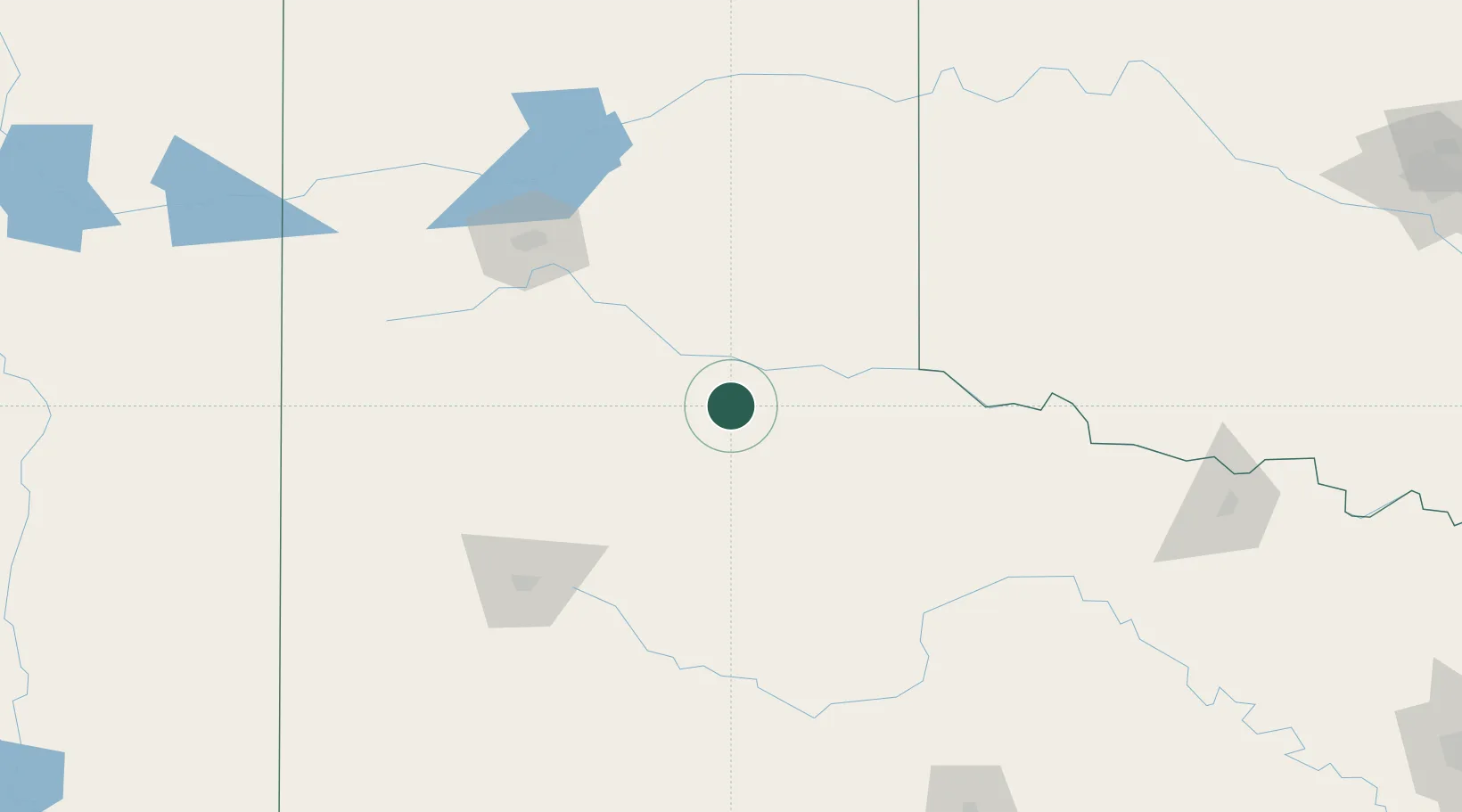
Place type
Populated place
Region
Texas
Population
396
Time zone
America/Chicago
Elevation
711 m
Location
Nearby Logistics Neighbours
Cities
- 1Silverton37 km
- 2Petersburg88 km
- 3Shamrock, Wheeler109 km
- 4Hart110 km
- 5Canyon112 km
Ports
- 1Deer Park736 km
- 2Houston740 km
- 3Pasadena747 km
- 4Baytown759 km
- 5Port Lavaca760 km
Airports
Trade Zones
- 1FTZ No. 252 Amarillo126 km
- 2FTZ No. 260 Lubbock138 km
- 3FTZ No. 261 Alexandria138 km
- 4FTZ No. 165 Midland290 km
- 5FTZ No. 166 Homestead290 km
DatabookThe Record of Consolidated Knowledge
United States beyond logistics?