UN/LOCODE hub · United States
USNVF

Navarre

40.7167°, -81.5167°
1,922
Population
2
Transport functions

Transport Functions

Rail
Road
UN/LOCODE

Hub Profile

Place type
Populated place
GeoNames
Region
Ohio
GeoNames
Population
1,922
GeoNames
Time zone
America/New_York
GeoNames
Elevation
293 m
GeoNames

Location

Location of USNVF
Natural Earth 10m (public domain) · Ohio · USNVF · 40.72, -81.52GoogleOSMYandex

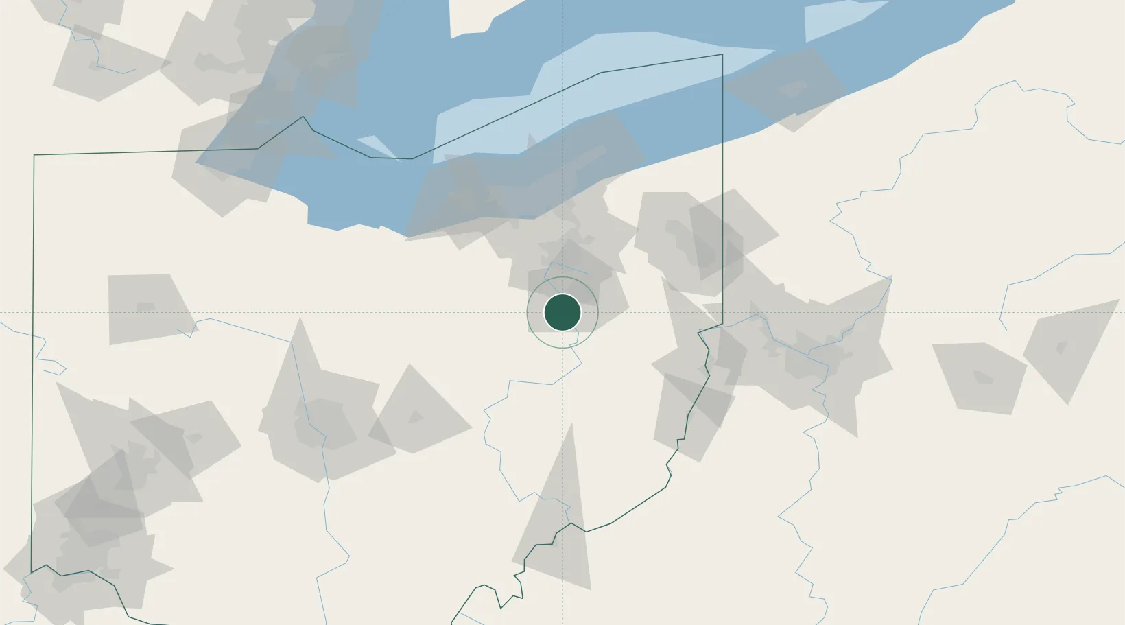
Nearby Logistics Neighbours

Cities
  1. 1Beach City9 km
  2. 2Dalton16 km
  3. 3Mineral City18 km
  4. 4Magnolia20 km
  5. 5East Canton21 km
Nearest neighbours — logibook spatial index (haversine) over the source coordinates
Ports
  1. 1Cleveland89 km
  2. 2Lorain100 km
  3. 3Vermilion107 km
  4. 4Huron115 km
  5. 5Fairport118 km
Nearest neighbours — logibook spatial index (haversine) over the source coordinates
Airports
  1. 1Akron Canton Regional Airport23 km
  2. 2Akron Fulton International Airport36 km
  3. 3Cleveland Hopkins International Airport82 km
  4. 4Mansfield Lahm Regional Airport85 km
  5. 5Burke Lakefront Airport90 km
Nearest neighbours — logibook spatial index (haversine) over the source coordinates
Trade Zones
  1. 1FTZ No. 181 Akron Canton33 km
  2. 2FTZ No. 040 Cleveland91 km
  3. 3FTZ No. 033 Pittsburgh128 km
  4. 4FTZ No. 138 Franklin County157 km
  5. 5FTZ No. 151 Findlay187 km
Nearest neighbours — logibook spatial index (haversine) over the source coordinates
DatabookThe Record of Consolidated Knowledge
United States beyond logistics?
Browse databook

All Sources

LocationsUN/LOCODE
UN/LOCODE — free
LocationsGeoNames
CC BY 4.0
Portsthe NGA World Port Index
Public domain (US gov)
AirportsOurAirports
Public domain
Trade Zonesthe World Bank SEZ database
CC BY 4.0
Trade ZonesOpen Zone Map
CC BY
← United States locations