Transport Functions
Rail
Road
Multimodal
Hub Profile
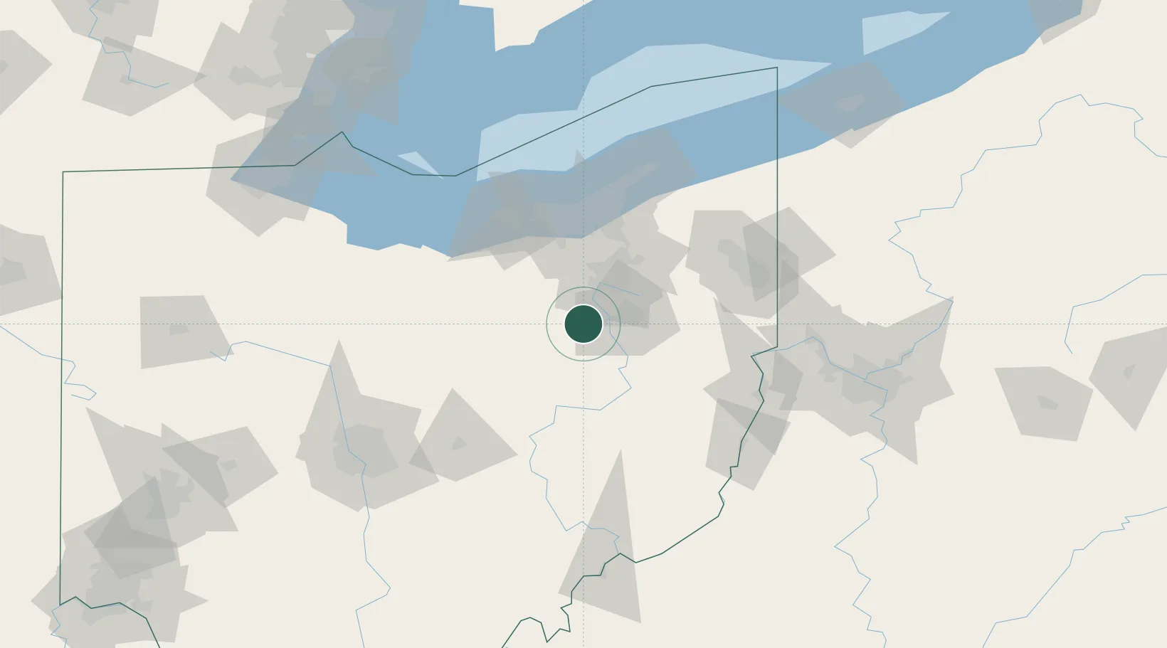
Place type
Populated place
Region
Ohio
Population
1,850
Time zone
America/New_York
Elevation
336 m
Location
Nearby Logistics Neighbours
Cities
- 1Clinton16 km
- 2Navarre16 km
- 3Beach City17 km
- 4Smithville, Wayne18 km
- 5Mount Hope20 km
Airports
Trade Zones
- 1FTZ No. 181 Akron Canton20 km
- 2FTZ No. 040 Cleveland81 km
- 3FTZ No. 033 Pittsburgh143 km
- 4FTZ No. 138 Franklin County151 km
- 5FTZ No. 151 Findlay172 km
DatabookThe Record of Consolidated Knowledge
United States beyond logistics?