Transport Functions
Port
Rail
Road
Multimodal
Hub Profile
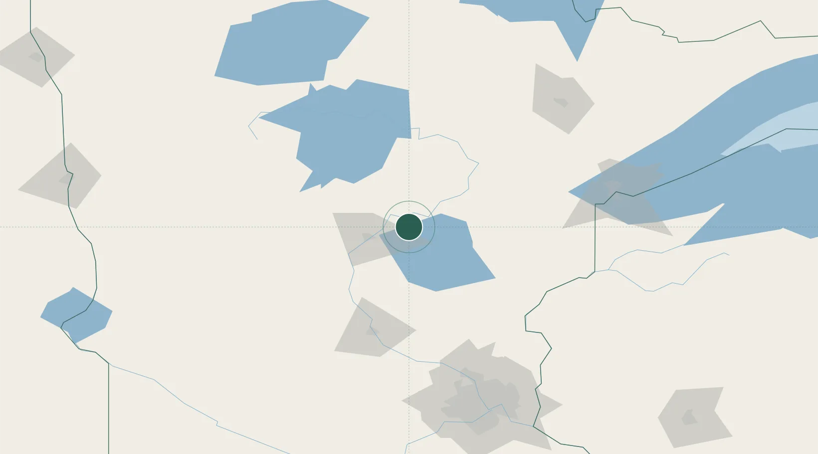
Place type
Populated place
Region
Minnesota
Population
520
Time zone
America/Chicago
Elevation
389 m
Location
Nearby Logistics Neighbours
Cities
- 1Pequot Lakes33 km
- 2McGregor46 km
- 3Pillager47 km
- 4Isle48 km
- 5Freeport65 km
Ports
- 1Duluth140 km
- 2Superior142 km
- 3Two Harbors181 km
- 4Washburn230 km
- 5Ashland231 km
Airports
- 1Brainerd Lakes Regional Airport20 km
- 2Saint Cloud Regional Airport103 km
- 3Range Regional Airport129 km
- 4Chandler Field134 km
- 5Duluth International Airport135 km
Trade Zones
- 1FTZ No. 051 Duluth129 km
- 2FTZ No. 119 Minneapolis-St. Paul174 km
- 3FTZ No. 259 Koochiching County204 km
- 4FTZ No. 267 Fargo239 km
- 5FTZ No. 103 Grand Forks296 km
DatabookThe Record of Consolidated Knowledge
United States beyond logistics?