UN/LOCODE hub · India
INRPR

Raipur

21.2259°, 81.8063°
1,027,264
Population
2
Transport functions

Transport Functions

Airport
Multimodal
UN/LOCODE

Hub Profile

Place type
Regional capital
GeoNames
Region
Chhattisgarh
GeoNames
Population
1,027,264
GeoNames
Time zone
Asia/Kolkata
GeoNames
Elevation
296 m
GeoNames
Logistics facilities
2
UN/LOCODE

Location

Location of INRPR
Natural Earth 10m (public domain) · Chhattisgarh · INRPR · 21.23, 81.81GoogleOSMYandex

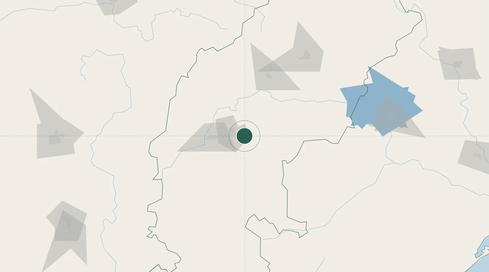
Nearby Logistics Neighbours

Cities
  1. 1Bhilai39 km
  2. 2Concor Icd/Nayaraipur72 km
  3. 3LSPL SEZ/Rajnandgaon84 km
  4. 4Ramtek257 km
  5. 5MADCL SEZ/Nagpur281 km
Nearest neighbours — logibook spatial index (haversine) over the source coordinates
Ports
  1. 1Gopalpur393 km
  2. 2Vishakhapatnam424 km
  3. 3Gangavaram427 km
  4. 4Kakinada Bay473 km
  5. 5Paradip518 km
Nearest neighbours — logibook spatial index (haversine) over the source coordinates
Airports
  1. 1Swami Vivekananda Airport9 km
  2. 2Bilaspur Airport90 km
  3. 3Gondia Airport161 km
  4. 4Utkela Airport190 km
  5. 5Jagdalpur Airport241 km
Nearest neighbours — logibook spatial index (haversine) over the source coordinates
Trade Zones
  1. 1M s. Lanco Solar Private Limited77 km
  2. 2Vedanta Aluminium Limited237 km
  3. 3Mihan Special Economic Zone288 km
  4. 4Saraf Agencies private Limited390 km
  5. 5Divi’s Laboratories Limited406 km
Nearest neighbours — logibook spatial index (haversine) over the source coordinates
DatabookThe Record of Consolidated Knowledge
India beyond logistics?
Browse databook

All Sources

LocationsUN/LOCODE
UN/LOCODE — free
LocationsGeoNames
CC BY 4.0
Portsthe NGA World Port Index
Public domain (US gov)
AirportsOurAirports
Public domain
Trade Zonesthe World Bank SEZ database
CC BY 4.0
Trade ZonesOpen Zone Map
CC BY
← India locations