Export Processing Zone · Mozambique

MCM Industrias Texteis Industrial Free Zone Active
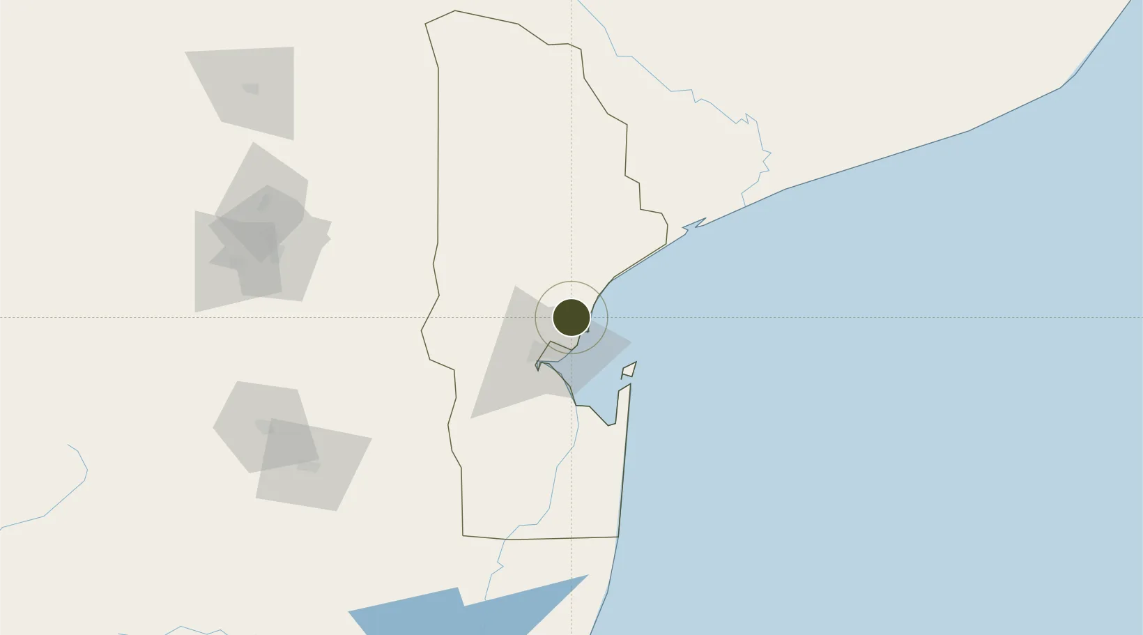
-25.7477°, 32.6585°
80 ha
Zone area
26.5 km
Nearest port
21.1 km
Nearest airport

Gateway access

Nearest neighbours — logibook spatial index (haversine) over the source coordinates

Zone profile

Zone type
Export Processing Zone
Open Zone Map
Region
Maputo
Open Zone Map
Status
Active
Open Zone Map
Management
Public-Private Partnership
Open Zone Map
Operator
MCM, Crispim Abreu, Mundotêxtil
Open Zone Map
Legal framework
Ministerial Order 202/2010 of 24 November – SEZ and IFTZ Tax and Custom Special Regime
Open Zone Map

Location

Location of ozm-2888
Natural Earth 10m (public domain) · Maputo · ozm-2888 · -25.75, 32.66GoogleOSMYandex

Nearby Logistics Neighbours

Ports
  1. 1Maputo27 km
  2. 2Inhambane344 km
  3. 3Richards Bay345 km
  4. 4Durban484 km
  5. 5Beira694 km
Nearest neighbours — logibook spatial index (haversine) over the source coordinates
Airports
  1. 1Maputo Airport21 km
  2. 2King Mswati III International Airport116 km
  3. 3Skukuza Airport139 km
  4. 4Xai-Xai Chongoene Airport145 km
  5. 5Malamala Airport153 km
Nearest neighbours — logibook spatial index (haversine) over the source coordinates
Cities
  1. 1Maputo26 km
  2. 2Chokwé139 km
  3. 3Siphofaneni142 km
  4. 4Sidvokodvo155 km
  5. 5Belfast159 km
Nearest neighbours — logibook spatial index (haversine) over the source coordinates
Trade Zones
  1. 1Belulane Industrial Park20 km
  2. 2Kenmare Industrial Free Zone24 km
  3. 3Mozal Industrial Free Zone24 km
  4. 4Moztex Industrial Free Zone26 km
  5. 5Beluluane Industrial Free Zone31 km
Nearest neighbours — logibook spatial index (haversine) over the source coordinates
DatabookThe Record of Consolidated Knowledge
Mozambique beyond logistics?
Browse databook

All Sources

Trade ZonesOpen Zone Map
CC BY
Portsthe NGA World Port Index
Public domain (US gov)
AirportsOurAirports
Public domain
LocationsUN/LOCODE
UN/LOCODE — free
← Mozambique trade zones