Medium airport · Mozambique

Inhambane AirportFQIN
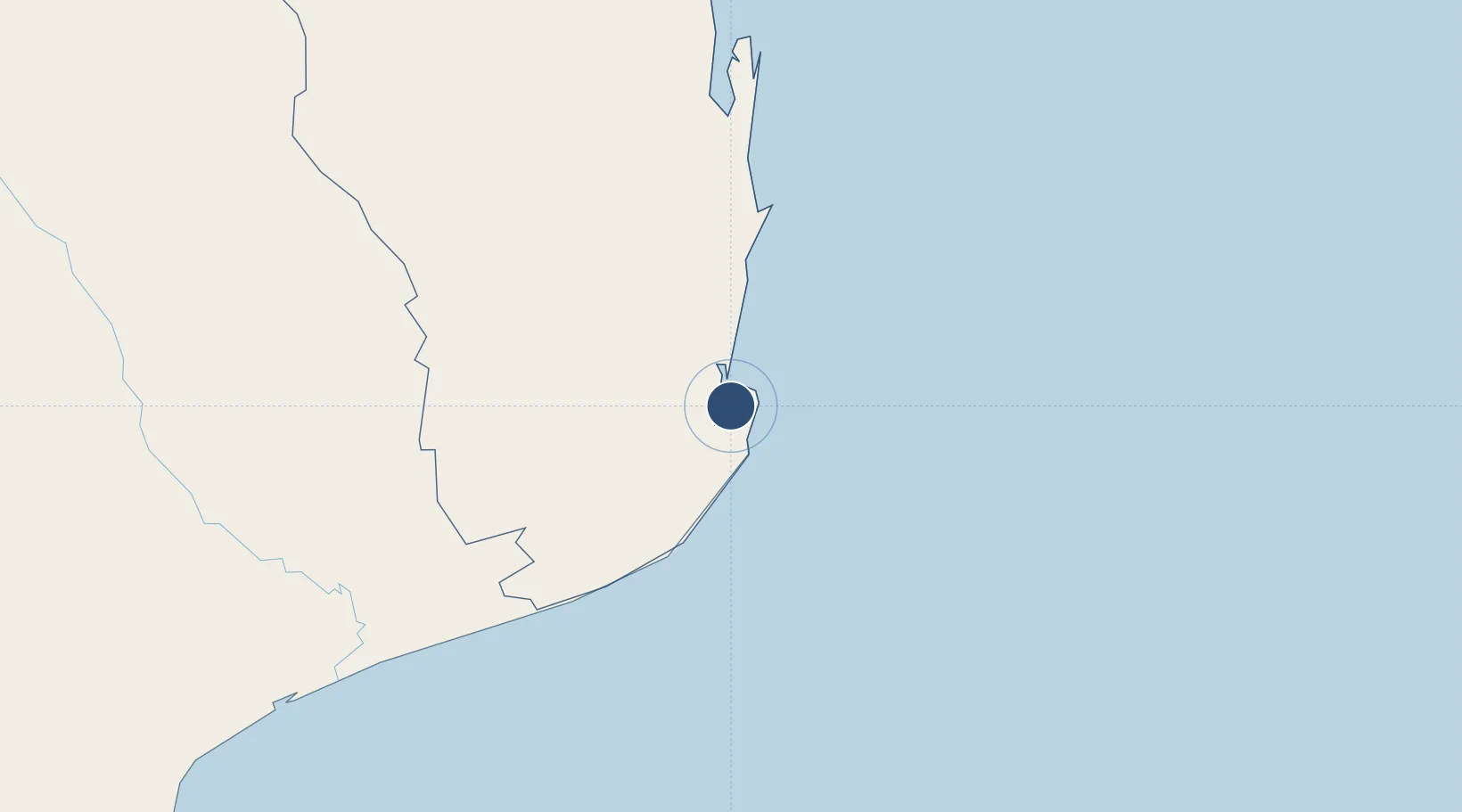
-23.8764°, 35.4085°
4,921 ft
Longest runway
2
Runways
30 ft
Elevation

Runway & Layout

Inhambane Airport runway & taxiway layout
Runway & taxiway layout — OpenStreetMap (ODbL) / OurAirports

Radio Frequencies

AFIS
118.4 MHz
OurAirports

Navaids

IN NDB Inhambane 400 kHz
OurAirports

Runways · 2

RunwayDimensions SurfaceTrue headingLit
16/34 4,921 × 98ft Asphalt 149°
06/24 2,625 × 98ft Sand 047°
OurAirports

Airport Specifications

IATA code
INH
OurAirports
ICAO code
FQIN
OurAirports
Airport class
Medium airport
OurAirports
Scheduled service
Yes
OurAirports
Runway surface
Asphalt
OurAirports
Served city
Inhambane
OurAirports

Location

Location of FQIN
Natural Earth 10m (public domain) · Inhambane · FQIN · -23.88, 35.41GoogleOSMYandex

Nearby Logistics Neighbours

Airports
  1. 1Xai-Xai Chongoene Airport202 km
  2. 2Vilankulo Airport207 km
  3. 3Benguera Island Airport225 km
  4. 4Indigo Bay Lodge Airport241 km
  5. 5Bazaruto Island Airport260 km
Nearest neighbours — logibook spatial index (haversine) over the source coordinates
Cities
  1. 1Chokwé257 km
  2. 2Maputo371 km
  3. 3Belfast425 km
  4. 4Beira459 km
  5. 5Kiepersol462 km
Nearest neighbours — logibook spatial index (haversine) over the source coordinates
Ports
  1. 1Inhambane5 km
  2. 2Maputo370 km
  3. 3Beira454 km
  4. 4Chinde601 km
  5. 5Richards Bay640 km
Nearest neighbours — logibook spatial index (haversine) over the source coordinates
Trade Zones
  1. 1MCM Industrias Texteis Industrial Free Zone347 km
  2. 2Belulane Industrial Park360 km
  3. 3Kenmare Industrial Free Zone365 km
  4. 4Mozal Industrial Free Zone366 km
  5. 5Moztex Industrial Free Zone367 km
Nearest neighbours — logibook spatial index (haversine) over the source coordinates
DatabookThe Record of Consolidated Knowledge
Mozambique beyond logistics?
Browse databook

All Sources

AirportsOurAirports
Public domain
Portsthe NGA World Port Index
Public domain (US gov)
LocationsUN/LOCODE
UN/LOCODE — free
Trade Zonesthe World Bank SEZ database
CC BY 4.0
Trade ZonesOpen Zone Map
CC BY
InfrastructureOpenStreetMap
ODbL 1.0
← Mozambique airports