Transport Functions
Rail
Road
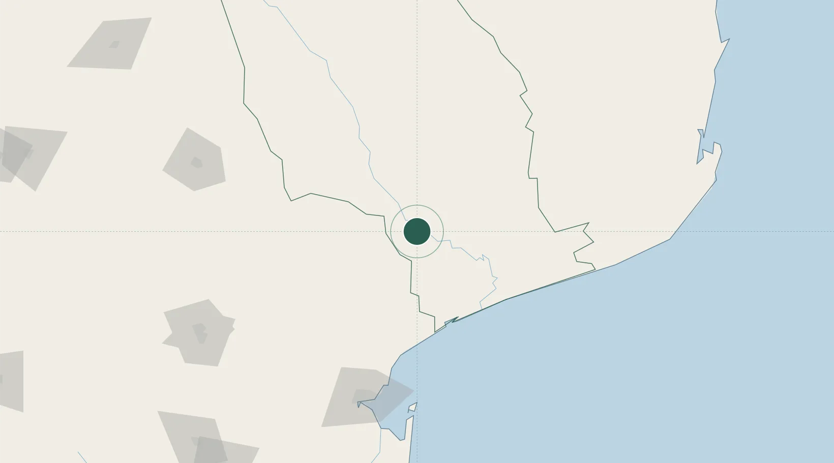
Hub Profile
Place type
Provincial seat
Region
Gaza Province
Population
63,695
Time zone
Africa/Maputo
Elevation
35 m
Location
Nearby Logistics Neighbours
Ports
- 1Maputo165 km
- 2Inhambane255 km
- 3Richards Bay484 km
- 4Beira556 km
- 5Durban623 km
Airports
- 1Xai-Xai Chongoene Airport87 km
- 2Skukuza Airport149 km
- 3Malamala Airport149 km
- 4Maputo Airport160 km
- 5Eastgate Airport / Air Force Base Hoedspruit196 km
Trade Zones
DatabookThe Record of Consolidated Knowledge
Mozambique beyond logistics?