Medium airport · Mozambique

Vilankulo AirportFQVL
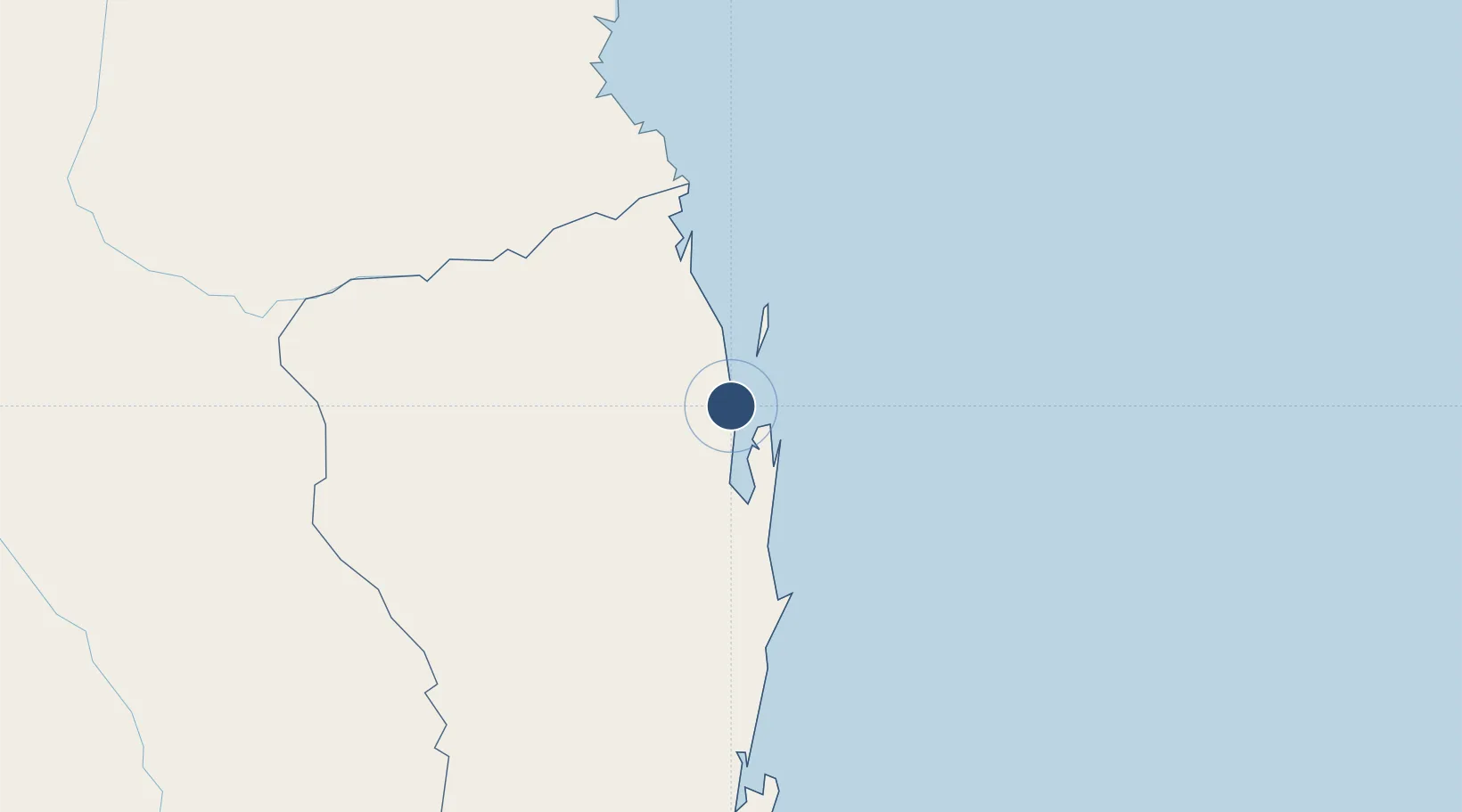
-22.0184°, 35.3133°
4,823 ft
Longest runway
2
Runways
46 ft
Elevation

Runway & Layout

Vilankulo Airport runway & taxiway layout
Runway & taxiway layout — OpenStreetMap (ODbL) / OurAirports

Radio Frequencies

TWR
118.3 MHz
OurAirports

Navaids

VL NDB Vilankulo 370 kHz
OurAirports

Runways · 2

RunwayDimensions SurfaceTrue headingLit
17/35 4,823 × 98ft Asphalt 156°
10/28 2,461 × 75ft Asphalt 089°
OurAirports

Airport Specifications

IATA code
VNX
OurAirports
ICAO code
FQVL
OurAirports
Airport class
Medium airport
OurAirports
Scheduled service
Yes
OurAirports
Runway surface
Asphalt
OurAirports
Served city
Vilanculo
OurAirports

Location

Location of FQVL
Natural Earth 10m (public domain) · Inhambane · FQVL · -22.02, 35.31GoogleOSMYandex

Nearby Logistics Neighbours

Airports
  1. 1Benguera Island Airport22 km
  2. 2Indigo Bay Lodge Airport37 km
  3. 3Bazaruto Island Airport56 km
  4. 4Inhambane Airport207 km
  5. 5Beira International Airport251 km
Nearest neighbours — logibook spatial index (haversine) over the source coordinates
Cities
  1. 1Beira253 km
  2. 2Chimanimani354 km
  3. 3Chokwé367 km
  4. 4Chiredzi392 km
  5. 5Mutare436 km
Nearest neighbours — logibook spatial index (haversine) over the source coordinates
Ports
  1. 1Inhambane211 km
  2. 2Beira248 km
  3. 3Chinde403 km
  4. 4Quelimane488 km
  5. 5Porto Belo519 km
Nearest neighbours — logibook spatial index (haversine) over the source coordinates
Trade Zones
  1. 1Manga-Mungassa Special Economic Zone251 km
  2. 2Manga-Mungassa (Beira) Special Economic Zone257 km
  3. 3Fern Hill Special Economic Zone439 km
  4. 4MCM Industrias Texteis Industrial Free Zone495 km
  5. 5Belulane Industrial Park512 km
Nearest neighbours — logibook spatial index (haversine) over the source coordinates
DatabookThe Record of Consolidated Knowledge
Mozambique beyond logistics?
Browse databook

All Sources

AirportsOurAirports
Public domain
Portsthe NGA World Port Index
Public domain (US gov)
LocationsUN/LOCODE
UN/LOCODE — free
Trade Zonesthe World Bank SEZ database
CC BY 4.0
Trade ZonesOpen Zone Map
CC BY
InfrastructureOpenStreetMap
ODbL 1.0
← Mozambique airports