Medium airport · Algeria

Hassi Messaoud-Oued Irara Krim Belkacem AirportDAUH
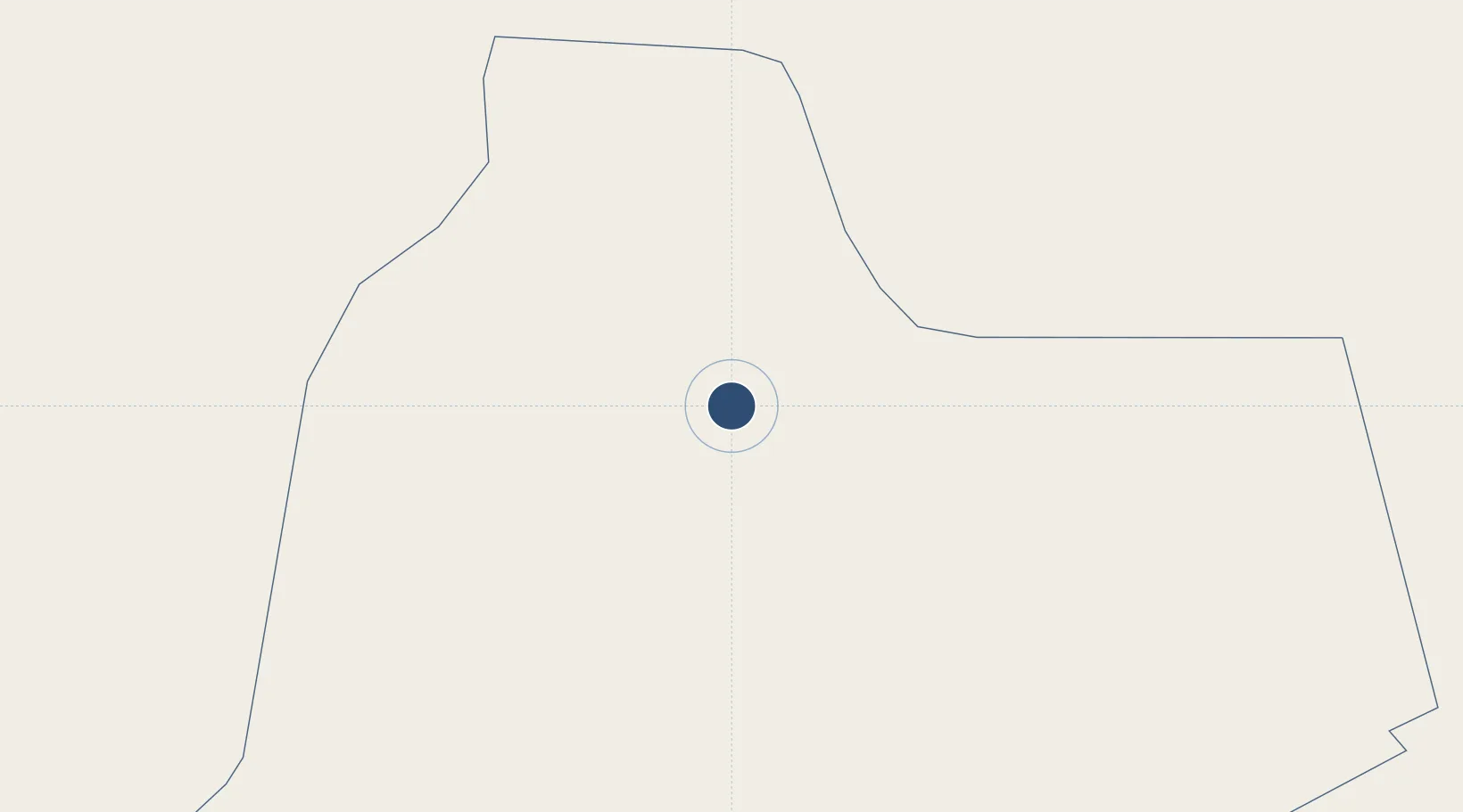
31.6730°, 6.1404°
9,843 ft
Longest runway
2
Runways
463 ft
Elevation

Runway & Layout

Hassi Messaoud-Oued Irara Krim Belkacem Airport runway & taxiway layout
Runway & taxiway layout — OpenStreetMap (ODbL) / OurAirports

Radio Frequencies

TWR
118.1 MHz
HASSI MESSAOUD TWR
APP
120 MHz
HASSI MESSAOUD APP
RDO
889.4 MHz
HASSI MESSAOUD RDO
OurAirports

Navaids

HMD NDB Hassi Messaoud 390 kHz
HME VOR-DME Hassi Messaoud 114.70 MHz
OurAirports

Runways · 2

RunwayDimensions SurfaceTrue headingLit
18/36 9,843 × 148ft Asphalt 184°
01/19 Unknown
OurAirports

Airport Specifications

IATA code
HME
OurAirports
ICAO code
DAUH
OurAirports
Airport class
Medium airport
OurAirports
Scheduled service
Yes
OurAirports
Runway surface
Asphalt
OurAirports
Served city
Hassi Messaoud
OurAirports

Location

Location of DAUH
Natural Earth 10m (public domain) · Ouargla · DAUH · 31.67, 6.14GoogleOSMYandex

Nearby Logistics Neighbours

Airports
  1. 1Ain Beida Airport74 km
  2. 2Touggourt Sidi Madhi Airport155 km
  3. 3Guemar Airport - مطار قمار بالوادي213 km
  4. 4Noumérat - Moufdi Zakaria Airport235 km
  5. 5El Borma Airport295 km
Nearest neighbours — logibook spatial index (haversine) over the source coordinates
Cities
  1. 1Ghardaïa250 km
  2. 2Nefta293 km
  3. 3Kebili348 km
  4. 4Rhourde Nouss358 km
  5. 5Gabès446 km
Nearest neighbours — logibook spatial index (haversine) over the source coordinates
Ports
  1. 1Gabes447 km
  2. 2Skhira470 km
  3. 3Houmt Souk504 km
  4. 4Zarzis509 km
  5. 5Mersa Sfax549 km
Nearest neighbours — logibook spatial index (haversine) over the source coordinates
Trade Zones
  1. 1Zarzis Park of Economic Activities507 km
  2. 2Ben Guerdane Economic Free Zone534 km
  3. 3Taminhent Free Zone551 km
  4. 4Zwara-Abu-Kemmash Free Trade Zone572 km
  5. 5Bizerte Park of Economic Activities709 km
Nearest neighbours — logibook spatial index (haversine) over the source coordinates
DatabookThe Record of Consolidated Knowledge
Algeria beyond logistics?
Browse databook

All Sources

AirportsOurAirports
Public domain
Portsthe NGA World Port Index
Public domain (US gov)
LocationsUN/LOCODE
UN/LOCODE — free
Trade Zonesthe World Bank SEZ database
CC BY 4.0
Trade ZonesOpen Zone Map
CC BY
InfrastructureOpenStreetMap
ODbL 1.0
← Algeria airports