Transport Functions
Port
Multimodal
Hub Profile
Place type
Regional capital
Region
Kebili Governorate
Population
26,310
Time zone
Africa/Tunis
Elevation
43 m
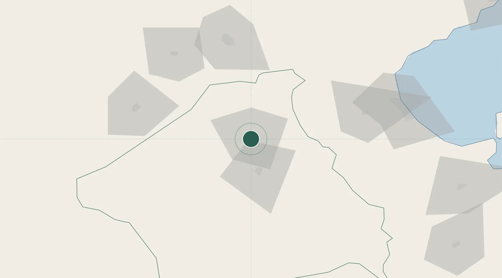
Location
Nearby Logistics Neighbours
Cities
- 1Nefta103 km
- 2Gabès108 km
- 3Medenine147 km
- 4Al Qasrayn164 km
- 5Mahires169 km
Ports
- 1Gabes109 km
- 2Skhira123 km
- 3Houmt Souk175 km
- 4Zarzis200 km
- 5Mersa Sfax202 km
Airports
Trade Zones
DatabookThe Record of Consolidated Knowledge
Tunisia beyond logistics?