Seaport · Spain

Puerto Del RosarioESFUE
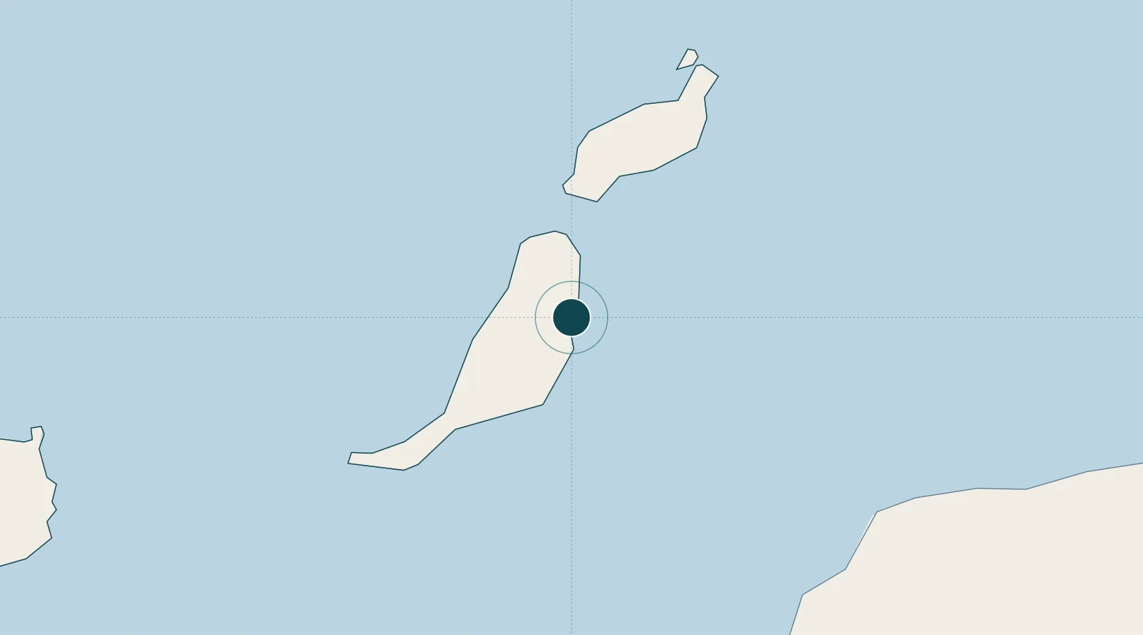
28.5000°, -13.8500°
12.5 m
Channel depth
2
Container terminals
32.4
Port liner connectivity
Puerto Del Rosario is also a UN/LOCODE logistics hub →

Channel & Berth Profile

SEA LEVEL (CD)CHANNEL BEDCargo pier · 11.0 mChannel · 12.5 mAnchorage · 17.1 m
NGA World Port Index

Pilotage, Tugs & Services

Pilotage compulsoryYES
Pilotage availableYES
Local assistanceYES
Tug assistanceNO
Potable waterNO
MedicalYES
NGA World Port Index

Facilities & Capabilities

Container
Ro-Ro
Liquid bulk
Dry bulk
Oil terminal
Break bulk
Dry dockNO
RepairsNO
Bunkering
Rail link
Dangerous cargo
ISPS security
NGA World Port Index

Harbour Specifications

Harbour size
Very Small
NGA World Port Index
Harbour type
Coastal (Breakwater)
NGA World Port Index
Shelter
Fair
NGA World Port Index
Water body
North Atlantic Ocean
NGA World Port Index
Tidal range
3 m
NGA World Port Index
Pilotage
Yes
NGA World Port Index

Liner Connectivity

32.4
PLSCI

Port Liner Shipping Connectivity Index for Puerto Del Rosario, as published by UNCTAD for the latest available quarter. Higher values indicate stronger scheduled liner-shipping integration.

Shown relative to the highest per-port PLSCI in the dataset (1,657.9).

UNCTAD · Port Liner Shipping Connectivity Index

Location

Location of ESFUE
Natural Earth 10m (public domain) · Las Palmas · ESFUE · 28.50, -13.85GoogleOSMYandex

Container Terminals · 2

TERMINAL MARITIMA DE FUERTEVENTURA
BMT BOLUDA CORPORACION MARITIMA S.A.
PUERTO DEL ROSARIO
ESMA ESTIBADORA MAJORERA, S.L.
SMDG Terminal Code List

Nearby Logistics Neighbours

Ports
  1. 1Arrecife59 km
  2. 2Las Palmas158 km
  3. 3Laayoune163 km
  4. 4Santa Cruz De Tenerife233 km
  5. 5Santa Cruz De La Palma381 km
Nearest neighbours — logibook spatial index (haversine) over the source coordinates
Cities
  1. 1Puerto Rosario2 km
  2. 2Gran Tarajal37 km
  3. 3Puerto Calero49 km
  4. 4Puerto del Carmen50 km
  5. 5San Bartolomé de Tirajana61 km
Nearest neighbours — logibook spatial index (haversine) over the source coordinates
Airports
  1. 1Fuerteventura Airport5 km
  2. 2César Manrique-Lanzarote Airport55 km
  3. 3Laayoune Hassan I International Airport163 km
  4. 4Gran Canaria Airport163 km
  5. 5Tenerife Norte-Ciudad de La Laguna Airport244 km
Nearest neighbours — logibook spatial index (haversine) over the source coordinates
Trade Zones
  1. 1Zona Franca de Las Palmas de Gran Canaria157 km
  2. 2Zona Franca de Tenerife234 km
  3. 3Bîr Oum Ghrïn Free Zone428 km
  4. 4Centro Internacional De Negocios da Madeira547 km
  5. 5Omrane Sahel Industrial Zone597 km
Nearest neighbours — logibook spatial index (haversine) over the source coordinates
DatabookThe Record of Consolidated Knowledge
Spain beyond logistics?
Browse databook

All Sources

Portsthe NGA World Port Index
Public domain (US gov)
Logistics performanceUNCTAD
CC BY 3.0 IGO
Portsthe SMDG Terminal Code List
UN/LOCODE — free, attribution
AirportsOurAirports
Public domain
LocationsUN/LOCODE
UN/LOCODE — free
Trade Zonesthe World Bank SEZ database
CC BY 4.0
Trade ZonesOpen Zone Map
CC BY
← Spain ports