Transport Functions
Multimodal
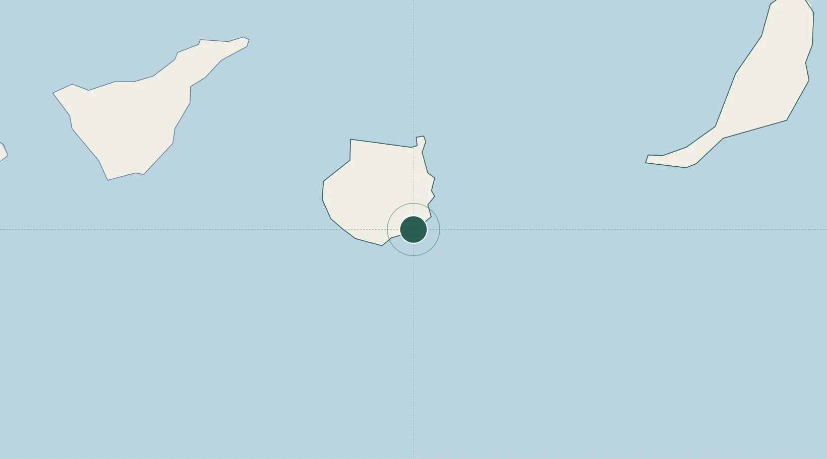
Hub Profile
Place type
Populated place
Region
Canary Islands
Time zone
Atlantic/Canary
Elevation
15 m
Location
Nearby Logistics Neighbours
Cities
- 1Juan Grande2 km
- 2Vecindario4 km
- 3Sant Bartolome de Tirajana12 km
- 4Carrizal12 km
- 5Playa Ingles14 km
Ports
- 1Las Palmas39 km
- 2Santa Cruz De Tenerife107 km
- 3Puerto Del Rosario175 km
- 4Laayoune214 km
- 5Arrecife227 km
Airports
- 1Gran Canaria Airport16 km
- 2Tenerife Sur Airport114 km
- 3Tenerife Norte-Ciudad de La Laguna Airport116 km
- 4Fuerteventura Airport172 km
- 5La Gomera Airport175 km
Trade Zones
DatabookThe Record of Consolidated Knowledge
Spain beyond logistics?