Transport Functions
Port
Road
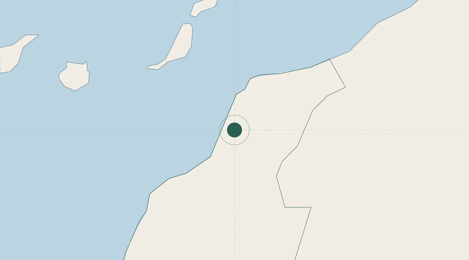
Location
Nearby Logistics Neighbours
Cities
- 1Gran Tarajal142 km
- 2Morro del Jable150 km
- 3Puerto del Rosario-Fuerteventura163 km
- 4Puerto Rosario164 km
- 5Boujdour170 km
Ports
- 1Laayoune24 km
- 2Puerto Del Rosario163 km
- 3Arrecife203 km
- 4Las Palmas245 km
- 5Santa Cruz De Tenerife332 km
Airports
- 1Laayoune Hassan I International Airport3 km
- 2Smara Airport157 km
- 3Fuerteventura Airport159 km
- 4César Manrique-Lanzarote Airport204 km
- 5Gran Canaria Airport233 km
Trade Zones
DatabookThe Record of Consolidated Knowledge
Western Sahara beyond logistics?