Large airport · Western Sahara

Laayoune Hassan I International AirportGMML
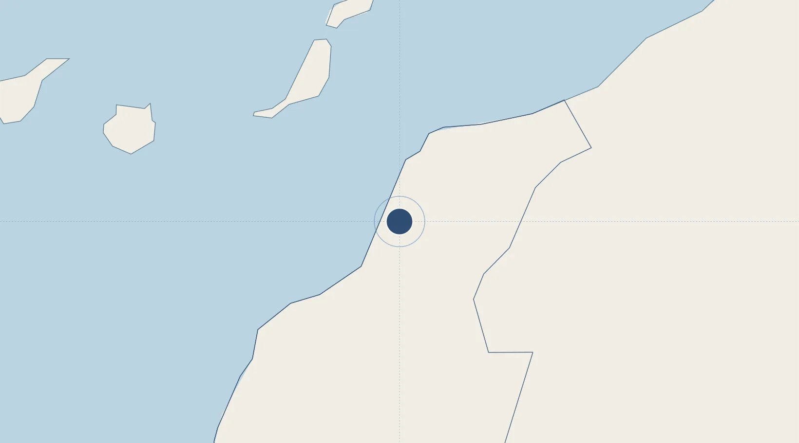
27.1425°, -13.2249°
8,861 ft
Longest runway
2
Runways
207 ft
Elevation

Runway & Layout

Laayoune Hassan I International Airport runway & taxiway layout
Runway & taxiway layout — OpenStreetMap (ODbL) / OurAirports

Radio Frequencies

TWR
131.1 MHz
LAAYOUNE TWR
APP
127.5 MHz
LAAYOUNE APP
OurAirports

Navaids

LAY VOR-DME Laayoune 112.10 MHz
OurAirports

Runways · 2

RunwayDimensions SurfaceTrue headingLit
02/20 8,861 × 148ft Asphalt 016°
04/22 8,202 × 148ft Asphalt 032°
OurAirports

Airport Specifications

IATA code
EUN
OurAirports
ICAO code
GMML
OurAirports
Airport class
Large airport
OurAirports
Scheduled service
Yes
OurAirports
Runway surface
Asphalt
OurAirports
Served city
El Aaiún
OurAirports

Location

Location of GMML
Natural Earth 10m (public domain) · Laâyoune - Boujdour - Sakia El Hamra · GMML · 27.14, -13.22GoogleOSMYandex

Nearby Logistics Neighbours

Airports
  1. 1Fuerteventura Airport159 km
  2. 2Smara Airport160 km
  3. 3César Manrique-Lanzarote Airport204 km
  4. 4Gran Canaria Airport231 km
  5. 5Tan Tan Airport250 km
Nearest neighbours — logibook spatial index (haversine) over the source coordinates
Cities
  1. 1Ejbei Uad el Aabd3 km
  2. 2Gran Tarajal141 km
  3. 3Morro del Jable149 km
  4. 4Puerto del Rosario-Fuerteventura163 km
  5. 5Puerto Rosario164 km
Nearest neighbours — logibook spatial index (haversine) over the source coordinates
Ports
  1. 1Laayoune22 km
  2. 2Puerto Del Rosario163 km
  3. 3Arrecife203 km
  4. 4Las Palmas243 km
  5. 5Santa Cruz De Tenerife331 km
Nearest neighbours — logibook spatial index (haversine) over the source coordinates
Trade Zones
  1. 1Zona Franca de Las Palmas de Gran Canaria243 km
  2. 2Bîr Oum Ghrïn Free Zone269 km
  3. 3Zona Franca de Tenerife332 km
  4. 4Omrane Sahel Industrial Zone655 km
  5. 5Centro Internacional De Negocios da Madeira708 km
Nearest neighbours — logibook spatial index (haversine) over the source coordinates
DatabookThe Record of Consolidated Knowledge
Western Sahara beyond logistics?
Browse databook

All Sources

AirportsOurAirports
Public domain
Portsthe NGA World Port Index
Public domain (US gov)
LocationsUN/LOCODE
UN/LOCODE — free
Trade Zonesthe World Bank SEZ database
CC BY 4.0
Trade ZonesOpen Zone Map
CC BY
← Western Sahara airports