UN/LOCODE hub · Congo - Brazzaville
CGOYO
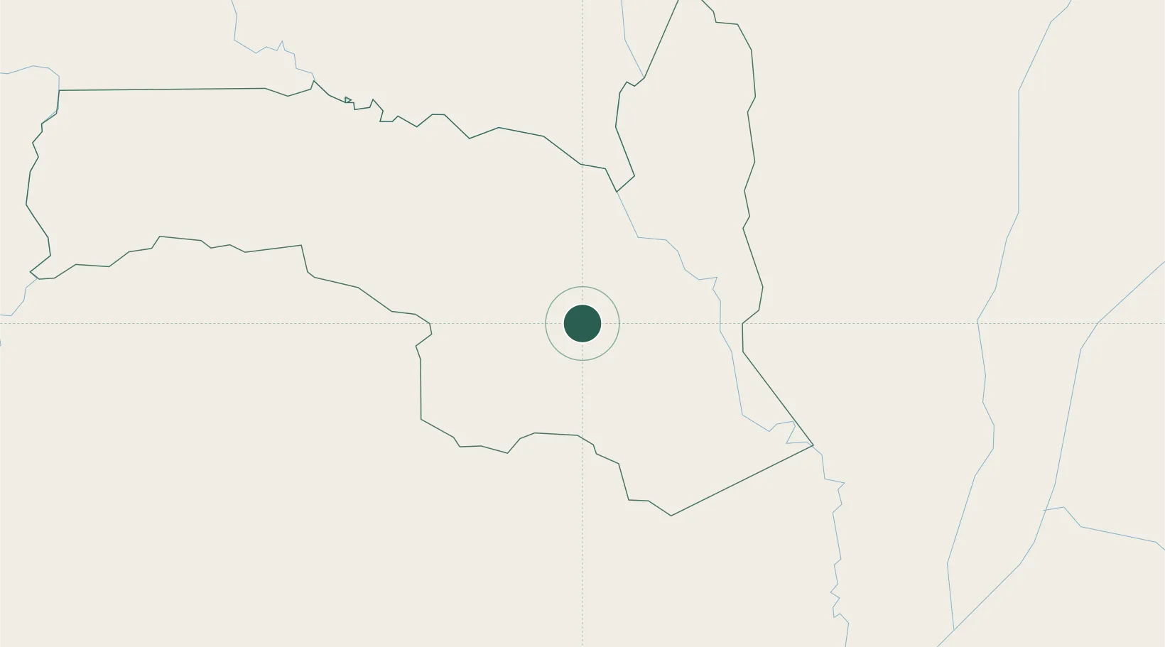
Oyo
1.0000°, 15.9000°
20,630
Population
2
Transport functions
Transport Functions
Port
Road
Hub Profile
Place type
Populated place
Region
Cuvette
Population
20,630
Time zone
Africa/Brazzaville
Elevation
320 m
Location
Nearby Logistics Neighbours
Ports
- 1Bata689 km
- 2Cogo689 km
- 3Ebome Marine Terminal705 km
- 4Kome Kribi 1 Marine Terminal711 km
- 5Port Owendo716 km
Airports
- 1Ouesso Airport70 km
- 2Owando Airport170 km
- 3Oyo Ollombo Airport248 km
- 4Mbandaka Airport287 km
- 5Okondja Airport309 km
Trade Zones
DatabookThe Record of Consolidated Knowledge
Congo - Brazzaville beyond logistics?