UN/LOCODE hub · Congo - Brazzaville
CGMBI
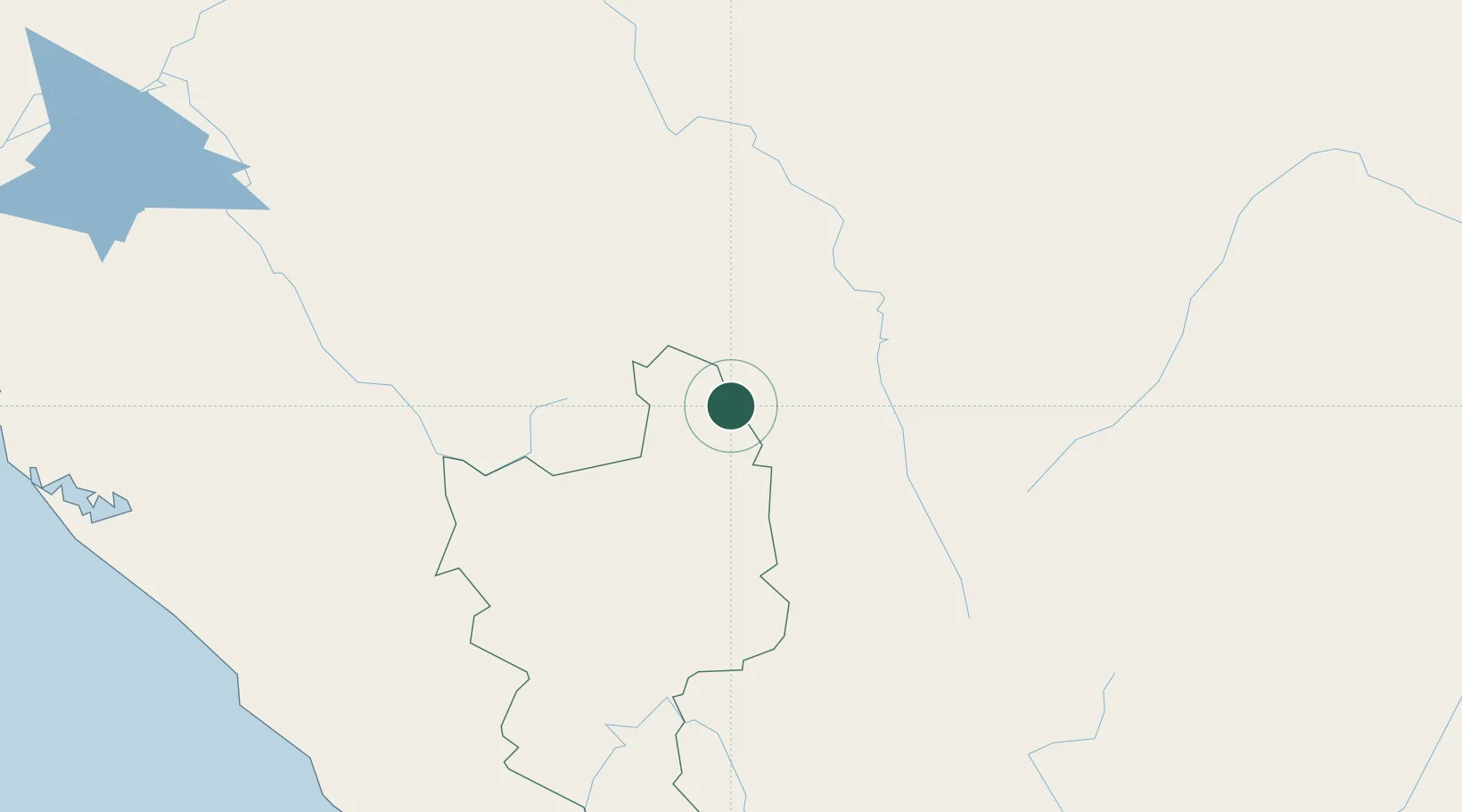
Mbinda
-2.1000°, 12.8667°
6,335
Population
2
Transport functions
Transport Functions
Rail
Road
Hub Profile
Place type
Populated place
Region
Niari
Population
6,335
Time zone
Africa/Brazzaville
Elevation
643 m
Location
Nearby Logistics Neighbours
Cities
- 1Yombo95 km
- 2Dolisie233 km
- 3Pointe Noire320 km
- 4Kinshasa370 km
- 5Futila Terminal380 km
Ports
- 1M'bya Oil Terminal292 km
- 2Etame Terminal319 km
- 3Pointe Noire320 km
- 4Yombo Terminal327 km
- 5Gamba Oil Terminal329 km
Airports
Trade Zones
DatabookThe Record of Consolidated Knowledge
Congo - Brazzaville beyond logistics?