Diversified Zone · Congo - Brazzaville

Ouesso Special Economic Zone Active
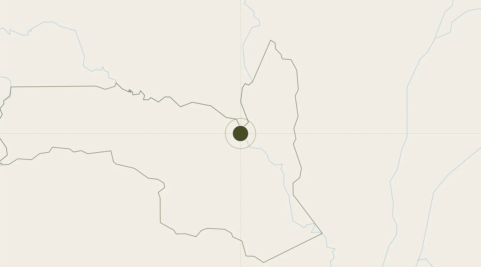
1.5989°, 16.0628°
64 ha
Zone area
834.6 km
Nearest port
3.4 km
Nearest airport

Gateway access

Nearest neighbours — logibook spatial index (haversine) over the source coordinates

Zone profile

Zone type
Diversified Zone
Open Zone Map
Region
Sangha
Open Zone Map
Status
Active
Open Zone Map
Management
Public
Open Zone Map
Operator
Ministry of Special Economic Zones
Open Zone Map
Legal framework
Law No. 34-2019 of 14 October 2019
Open Zone Map

Location

Location of ozm-1680
Natural Earth 10m (public domain) · Sangha · ozm-1680 · 1.60, 16.06GoogleOSMYandex

Nearby Logistics Neighbours

Ports
  1. 1M'bya Oil Terminal835 km
  2. 2Gamba Oil Terminal835 km
  3. 3Pointe Noire851 km
  4. 4Etame Terminal857 km
  5. 5Djeno Terminal861 km
Nearest neighbours — logibook spatial index (haversine) over the source coordinates
Airports
  1. 1Ouesso Airport3 km
  2. 2Owando Airport237 km
  3. 3Berbérati Airport293 km
  4. 4Mbandaka Airport303 km
  5. 5Oyo Ollombo Airport315 km
Nearest neighbours — logibook spatial index (haversine) over the source coordinates
Cities
  1. 1Oyo69 km
  2. 2Mossaka324 km
  3. 3Zongo416 km
  4. 4Bélabo481 km
  5. 5Ebebiyín531 km
Nearest neighbours — logibook spatial index (haversine) over the source coordinates
Trade Zones
  1. 1Oyo-Ollombo Special Economic Zone313 km
  2. 2Cite Lumiere Kwa na Kwa Economic Zone413 km
  3. 3Boumango Special Economic Zone504 km
  4. 4Nsam-Mvan Industrial Zone562 km
  5. 5Maluku Special Economic Zone635 km
Nearest neighbours — logibook spatial index (haversine) over the source coordinates
DatabookThe Record of Consolidated Knowledge
Congo - Brazzaville beyond logistics?
Browse databook

All Sources

Trade ZonesOpen Zone Map
CC BY
Portsthe NGA World Port Index
Public domain (US gov)
AirportsOurAirports
Public domain
LocationsUN/LOCODE
UN/LOCODE — free
← Congo - Brazzaville trade zones