UN/LOCODE hub · Congo - Brazzaville
CGMOS
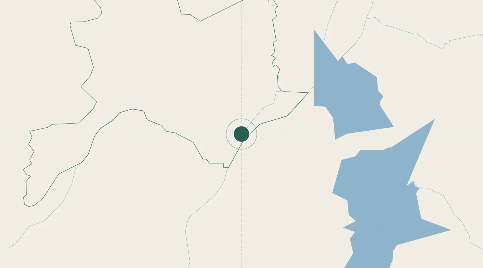
Mossaka
-1.2167°, 16.8000°
21,809
Population
2
Transport functions
Transport Functions
Port
Road
Hub Profile
Place type
Populated place
Region
Cuvette
Population
21,809
Time zone
Africa/Brazzaville
Elevation
288 m
Location
Nearby Logistics Neighbours
Ports
- 1Matadi632 km
- 2Boma662 km
- 3Pointe Noire679 km
- 4Djeno Terminal683 km
- 5Futila Terminal696 km
Airports
- 1Oyo Ollombo Airport99 km
- 2Owando Airport123 km
- 3Inongo Airport184 km
- 4Mbandaka Airport215 km
- 5Bandundu Airport242 km
Trade Zones
DatabookThe Record of Consolidated Knowledge
Congo - Brazzaville beyond logistics?