Small airport · Congo - Kinshasa
Inongo AirportFZBA
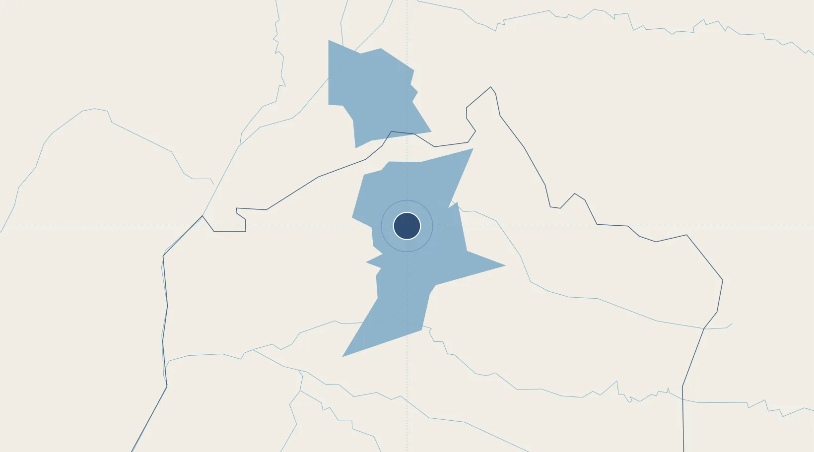
-1.9472°, 18.2858°
3,937 ft
Longest runway
1
Runways
1,040 ft
Elevation
Runway & Layout

Runways · 1
| Runway | Dimensions | Surface | True heading | Lit |
|---|---|---|---|---|
| 08/26 | 3,937 × —ft | dirt | — | — |
Airport Specifications
IATA code
INO
ICAO code
FZBA
Airport class
Small airport
Scheduled service
Yes
Runway surface
dirt
Served city
Inongo
Location
Nearby Logistics Neighbours
Airports
- 1Bandundu Airport182 km
- 2Mbandaka Airport219 km
- 3Oyo Ollombo Airport276 km
- 4Owando Airport305 km
- 5Boende Airport343 km
Ports
- 1Matadi688 km
- 2Boma725 km
- 3Futila Terminal781 km
- 4Pointe Noire783 km
- 5Djeno Terminal783 km
Trade Zones
DatabookThe Record of Consolidated Knowledge
Congo - Kinshasa beyond logistics?