Export Processing Zone · Tanzania

Luwawasi Export Processing Zone Active
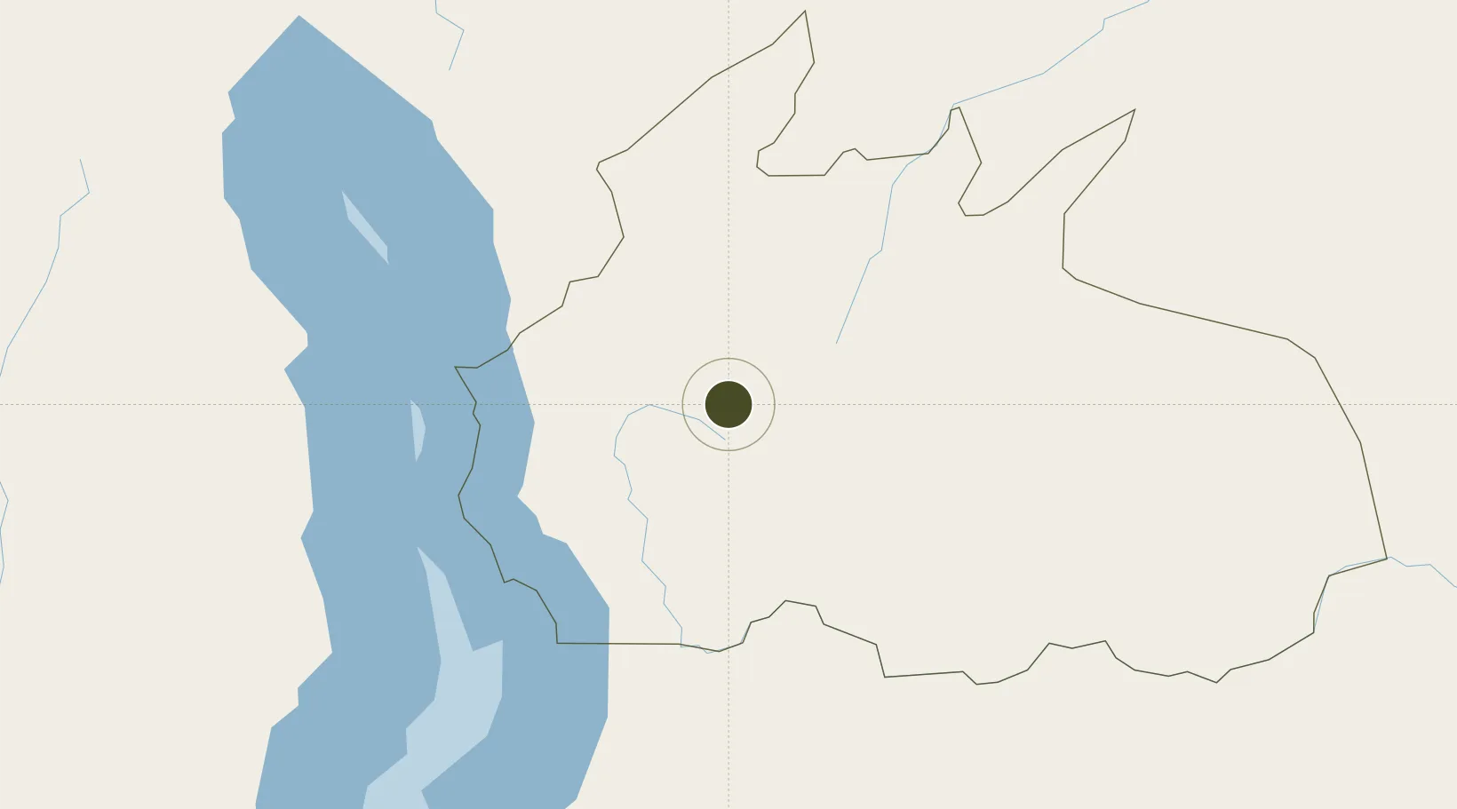
-10.6735°, 35.6113°
2,000 ha
Zone area
469.5 km
Nearest port
194.5 km
Nearest airport

Gateway access

Nearest neighbours — logibook spatial index (haversine) over the source coordinates

Zone profile

Zone type
Export Processing Zone
Open Zone Map
Region
Ruvuma
Open Zone Map
Status
Active
Open Zone Map
Management
Public
Open Zone Map
Operator
Export Processing Zone Authority
Open Zone Map
Legal framework
Special Economic Zones Act of 2006
Open Zone Map

Location

Location of ozm-4427
Natural Earth 10m (public domain) · Ruvuma · ozm-4427 · -10.67, 35.61GoogleOSMYandex

Nearby Logistics Neighbours

Ports
  1. 1Kilwa Kivinje470 km
  2. 2Mikindani497 km
  3. 3Mtwara504 km
  4. 4Ibo576 km
  5. 5Pemba590 km
Nearest neighbours — logibook spatial index (haversine) over the source coordinates
Airports
  1. 1Mzuzu Airport195 km
  2. 2Karonga Airport204 km
  3. 3Dwangwa Airport261 km
  4. 4Lichinga Airport292 km
  5. 5Songwe Airport322 km
Nearest neighbours — logibook spatial index (haversine) over the source coordinates
Cities
  1. 1Chipoka389 km
  2. 2Ikwiriri479 km
  3. 3Mtwara504 km
  4. 4Zambezia509 km
  5. 5Mocímboa da Praia522 km
Nearest neighbours — logibook spatial index (haversine) over the source coordinates
Trade Zones
  1. 1Ruvuma Special Economic Zone0 km
  2. 2Chintheche Industrial Park203 km
  3. 3Ute Special Economic Zone300 km
  4. 4Cape Maclear Tourism Hub Mangochi381 km
  5. 5Lilongwe Area 55 Zone401 km
Nearest neighbours — logibook spatial index (haversine) over the source coordinates
DatabookThe Record of Consolidated Knowledge
Tanzania beyond logistics?
Browse databook

All Sources

Trade ZonesOpen Zone Map
CC BY
Portsthe NGA World Port Index
Public domain (US gov)
AirportsOurAirports
Public domain
LocationsUN/LOCODE
UN/LOCODE — free
← Tanzania trade zones