Medium airport · Malawi
Karonga AirportFWKA
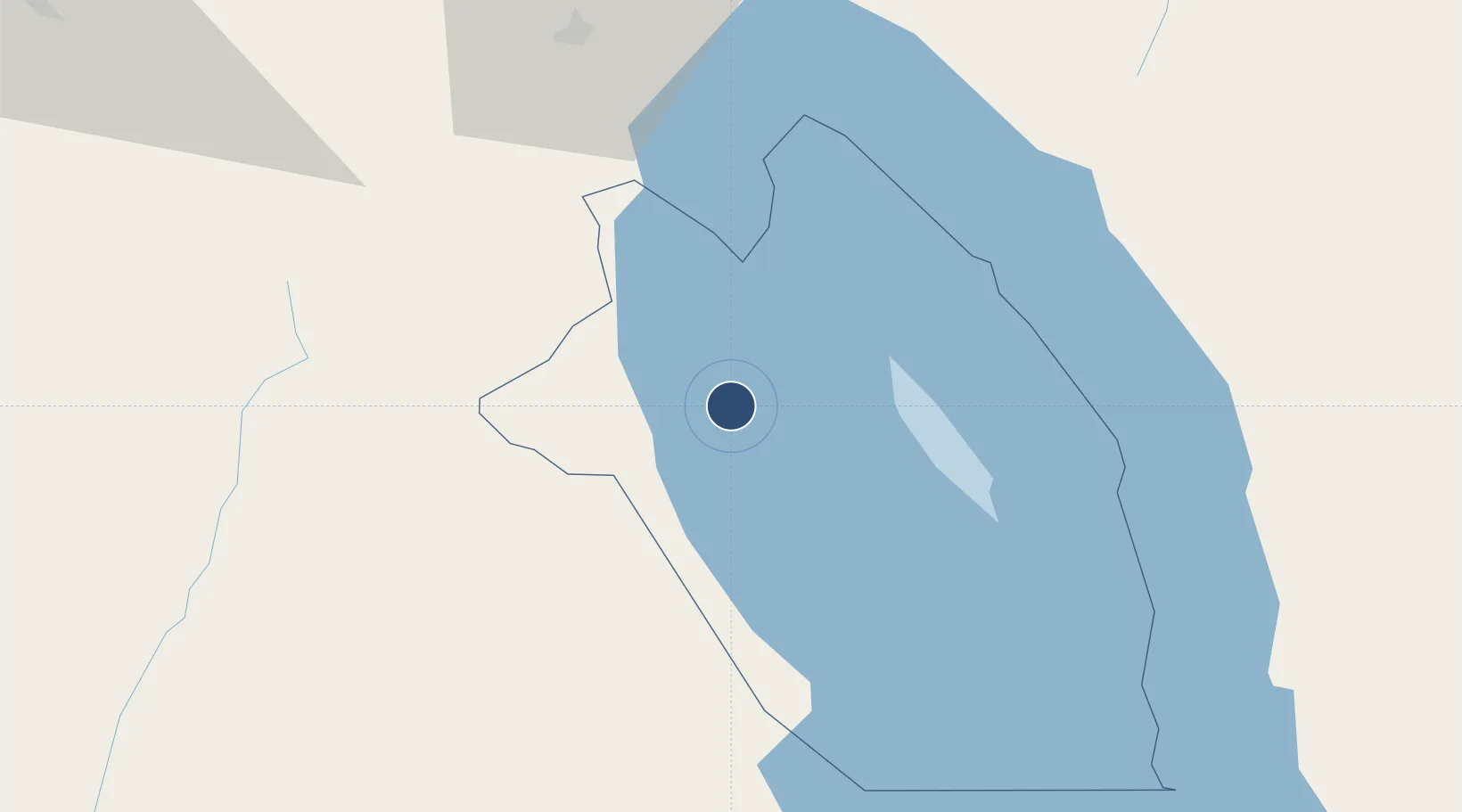
-9.9536°, 33.8933°
4,200 ft
Longest runway
1
Runways
1,765 ft
Elevation
Runway & Layout

Radio Frequencies
A/G
118.1 MHz
A/G VOICE RDO
Navaids
KA NDB Karonga 245 kHz
VKA VOR-DME Karonga 115.30 MHz
Runways · 1
| Runway | Dimensions | Surface | True heading | Lit |
|---|---|---|---|---|
| 14/32 | 4,200 × 59ft | Asphalt | 138° | — |
Airport Specifications
IATA code
KGJ
ICAO code
FWKA
Airport class
Medium airport
Scheduled service
No
Runway surface
Asphalt
Served city
Karonga
Location
Nearby Logistics Neighbours
Airports
- 1Songwe Airport134 km
- 2Mzuzu Airport166 km
- 3Dwangwa Airport286 km
- 4Kasama Airport305 km
- 5Iringa Airport326 km
Ports
- 1Kilwa Kivinje621 km
- 2Mikindani684 km
- 3Dar Es Salaam689 km
- 4Mtwara691 km
- 5Zanzibar719 km
Trade Zones
- 1Luwawasi Export Processing Zone204 km
- 2Ruvuma Special Economic Zone205 km
- 3Chintheche Industrial Park211 km
- 4Ute Special Economic Zone409 km
- 5Lilongwe Area 55 Zone428 km
DatabookThe Record of Consolidated Knowledge
Malawi beyond logistics?