Export Processing Zone · Zimbabwe

Norton Special Economic Zone Under Development
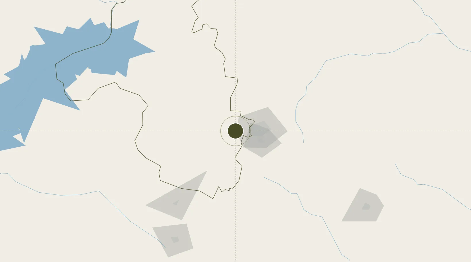
-17.8572°, 30.6985°
211 ha
Zone area
487.4 km
Nearest port
42.5 km
Nearest airport

Gateway access

Nearest neighbours — logibook spatial index (haversine) over the source coordinates

Zone profile

Zone type
Export Processing Zone
Open Zone Map
Region
Mashonaland West
Open Zone Map
Status
Under Development
Open Zone Map
Management
Private
Open Zone Map
Operator
Lentsloane Pvt. Ltd.
Open Zone Map
Legal framework
Zimbabwe Investment and Development Agency Act
Open Zone Map

Location

Location of ozm-5221
Natural Earth 10m (public domain) · Mashonaland West · ozm-5221 · -17.86, 30.70GoogleOSMYandex

Nearby Logistics Neighbours

Ports
  1. 1Beira487 km
  2. 2Chinde618 km
  3. 3Quelimane655 km
  4. 4Porto Belo687 km
  5. 5Pebane793 km
Nearest neighbours — logibook spatial index (haversine) over the source coordinates
Airports
  1. 1Robert Gabriel Mugabe International Airport43 km
  2. 2Mutoko Airport164 km
  3. 3Josiah Tungamirai Air Force Base197 km
  4. 4Kariba Airport243 km
  5. 5Masvingo International Airport245 km
Nearest neighbours — logibook spatial index (haversine) over the source coordinates
Cities
  1. 1Norton3 km
  2. 2Marlborough56 km
  3. 3Chegutu66 km
  4. 4Rusape168 km
  5. 5Mutoko169 km
Nearest neighbours — logibook spatial index (haversine) over the source coordinates
Trade Zones
  1. 1Workington Tradekings Special Economic Zone33 km
  2. 2Berhard Diamond & Jewellery Park38 km
  3. 3Selous Afrochine Special Economic Zone39 km
  4. 4Nkonyeni Agricultural Hub SEZ39 km
  5. 5Sunway City Special Economic Zone53 km
Nearest neighbours — logibook spatial index (haversine) over the source coordinates
DatabookThe Record of Consolidated Knowledge
Zimbabwe beyond logistics?
Browse databook

All Sources

Trade ZonesOpen Zone Map
CC BY
Portsthe NGA World Port Index
Public domain (US gov)
AirportsOurAirports
Public domain
LocationsUN/LOCODE
UN/LOCODE — free
← Zimbabwe trade zones