Export Processing Zone · Zimbabwe

Arcadia Lithium Project Special Economic Zone Under Development

-17.7746°, 31.3220°
1,031 ha
Zone area
434.7 km
Nearest port
29.9 km
Nearest airport

Gateway access

Nearest neighbours — logibook spatial index (haversine) over the source coordinates

Zone profile

Zone type
Export Processing Zone
Open Zone Map
Region
Mashonaland East
Open Zone Map
Status
Under Development
Open Zone Map
Management
Private
Open Zone Map
Operator
Prospect Lithium Zimbabwe Pvt. Ltd.
Open Zone Map
Legal framework
Zimbabwe Investment and Development Agency Act
Open Zone Map

Location

Location of ozm-5223
Natural Earth 10m (public domain) · Mashonaland East · ozm-5223 · -17.77, 31.32GoogleOSMYandex

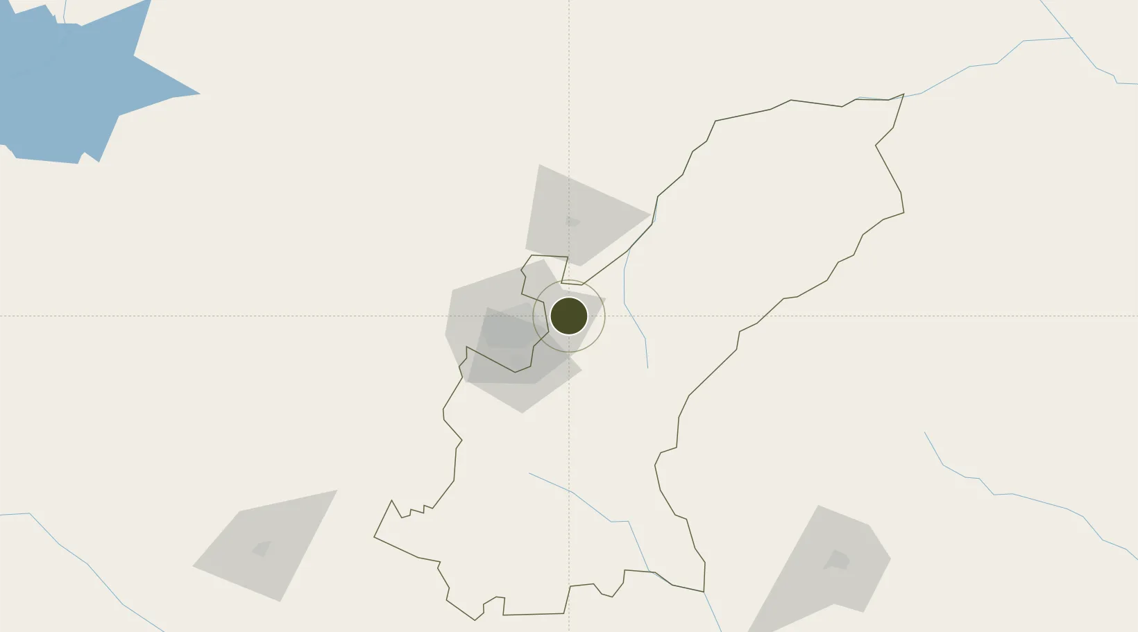
Nearby Logistics Neighbours

Ports
  1. 1Beira435 km
  2. 2Chinde554 km
  3. 3Quelimane589 km
  4. 4Porto Belo621 km
  5. 5Pebane726 km
Nearest neighbours — logibook spatial index (haversine) over the source coordinates
Airports
  1. 1Robert Gabriel Mugabe International Airport30 km
  2. 2Mutoko Airport99 km
  3. 3Josiah Tungamirai Air Force Base241 km
  4. 4Masvingo International Airport258 km
  5. 5Chimoio Airport270 km
Nearest neighbours — logibook spatial index (haversine) over the source coordinates
Cities
  1. 1Marlborough12 km
  2. 2Norton67 km
  3. 3Mutoko104 km
  4. 4Rusape119 km
  5. 5Chegutu130 km
Nearest neighbours — logibook spatial index (haversine) over the source coordinates
Trade Zones
  1. 1Ecosoft Special Economic Zone12 km
  2. 2Sunway City Special Economic Zone17 km
  3. 3Berhard Diamond & Jewellery Park29 km
  4. 4Workington Tradekings Special Economic Zone35 km
  5. 5Nkonyeni Agricultural Hub SEZ37 km
Nearest neighbours — logibook spatial index (haversine) over the source coordinates
DatabookThe Record of Consolidated Knowledge
Zimbabwe beyond logistics?
Browse databook

All Sources

Trade ZonesOpen Zone Map
CC BY
Portsthe NGA World Port Index
Public domain (US gov)
AirportsOurAirports
Public domain
LocationsUN/LOCODE
UN/LOCODE — free
← Zimbabwe trade zones