Medium airport · Angola
Dundo AirportFNDU
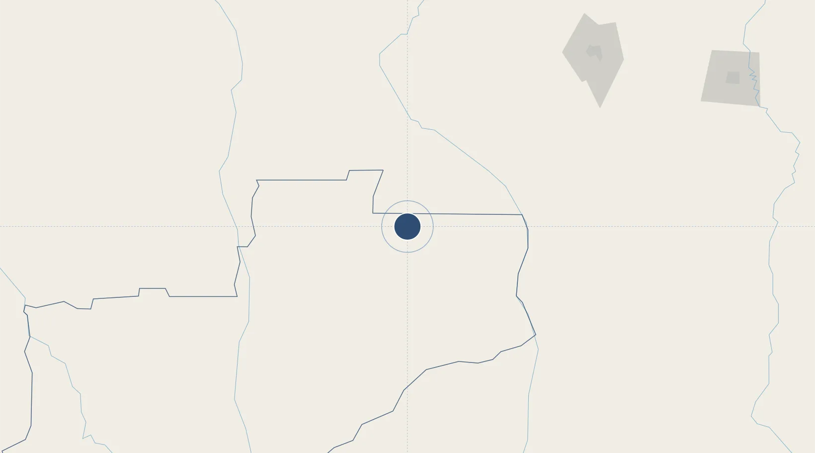
-7.4009°, 20.8185°
6,468 ft
Longest runway
1
Runways
2,451 ft
Elevation
Runway & Layout

Radio Frequencies
AFIS
118.3 MHz
Navaids
CH NDB Chitato 350 kHz
Runways · 1
| Runway | Dimensions | Surface | True heading | Lit |
|---|---|---|---|---|
| 03/21 | 6,468 × 80ft | Asphalt | 040° | — |
Airport Specifications
IATA code
DUE
ICAO code
FNDU
Airport class
Medium airport
Scheduled service
Yes
Runway surface
Asphalt
Served city
Chitato
Location
Nearby Logistics Neighbours
Airports
- 1Kananga Airport247 km
- 2Saurimo Airport258 km
- 3Mbuji Mayi Airport335 km
- 4Ilebo Airport342 km
- 5Kikwit Airport346 km
Cities
- 1Santa Clara671 km
- 2Kinshasa696 km
- 3Likasi762 km
- 4Mossaka819 km
- 5Matadi832 km
Ports
- 1Matadi833 km
- 2Luanda848 km
- 3Porto Do Ambriz852 km
- 4Porto Amboim860 km
- 5Sumbe875 km
Trade Zones
DatabookThe Record of Consolidated Knowledge
Angola beyond logistics?