Diversified Zone · Congo - Kinshasa

Manono Special Economic Zone Under Development
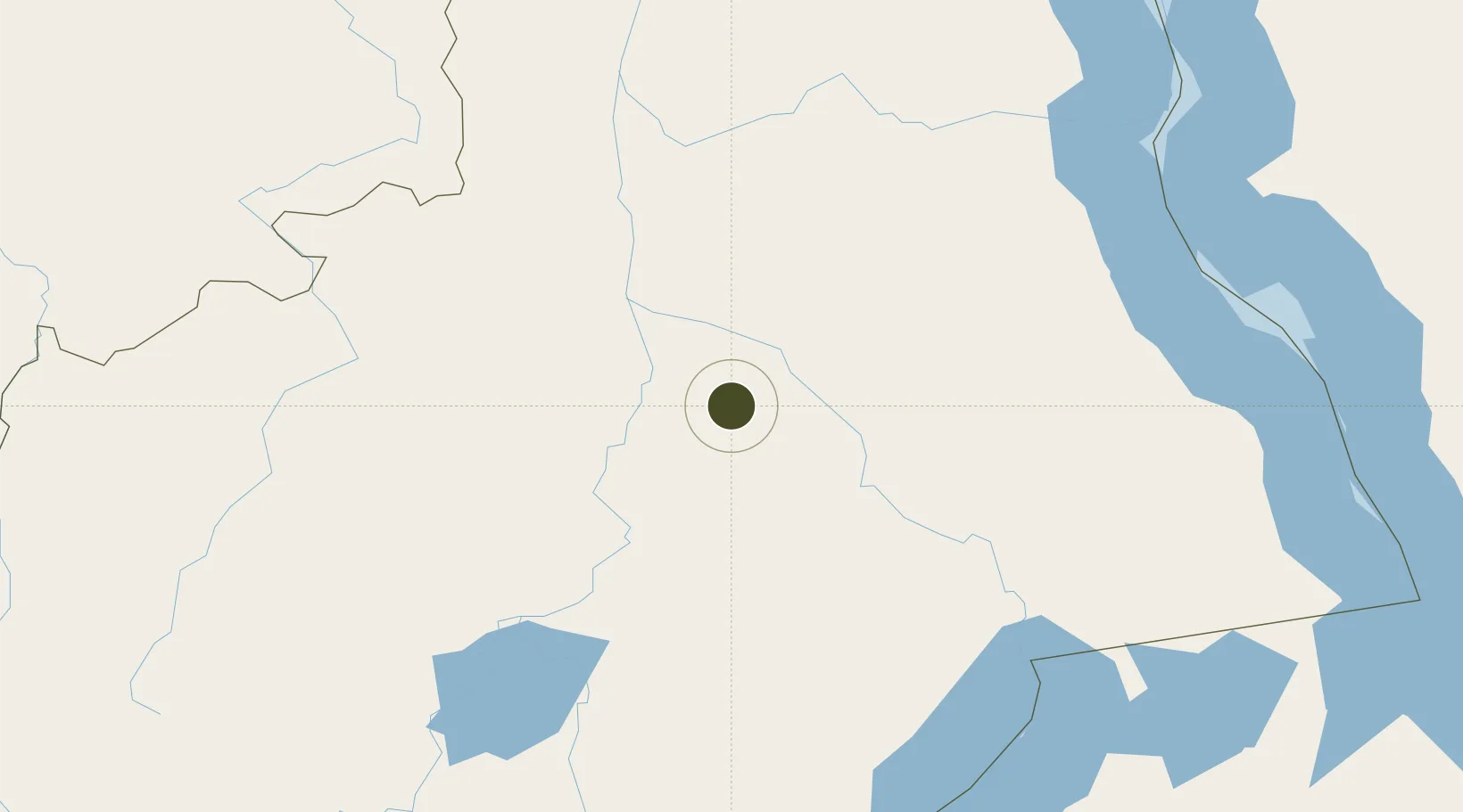
-7.2645°, 27.4567°
1,300 ha
Zone area
1,300.7 km
Nearest port
251.2 km
Nearest airport

Gateway access

Nearest neighbours — logibook spatial index (haversine) over the source coordinates

Zone profile

Zone type
Diversified Zone
Open Zone Map
Region
Katanga
Open Zone Map
Status
Under Development
Open Zone Map
Management
Public-Private Partnership
Open Zone Map
Operator
DRC Ministry of Industry, AVZ Minerals
Open Zone Map
Legal framework
Law No. 14/022 of July 7 2014
Open Zone Map

Location

Location of ozm-1679
Natural Earth 10m (public domain) · Katanga · ozm-1679 · -7.26, 27.46GoogleOSMYandex

Nearby Logistics Neighbours

Ports
  1. 1Zanzibar1301 km
  2. 2Dar Es Salaam1308 km
  3. 3Tanga1312 km
  4. 4Kilwa Kivinje1327 km
  5. 5Mombasa1397 km
Nearest neighbours — logibook spatial index (haversine) over the source coordinates
Airports
  1. 1Kalemie Airport251 km
  2. 2Kamina Air Base287 km
  3. 3Kamina City Airport317 km
  4. 4Kigoma Airport360 km
  5. 5Kolwezi Airport444 km
Nearest neighbours — logibook spatial index (haversine) over the source coordinates
Cities
  1. 1Kasulu419 km
  2. 2Kasulu419 km
  3. 3Likasi421 km
  4. 4Kagera459 km
  5. 5Cibitoke486 km
Nearest neighbours — logibook spatial index (haversine) over the source coordinates
Trade Zones
  1. 1Kigoma Special Economic Zone359 km
  2. 2Warubonda Special Economic Zone481 km
  3. 3Kiswishi Special Economic Zone489 km
  4. 4Chembe Multi-Facility Economic Zone542 km
  5. 5Rusizi Industrial Park546 km
Nearest neighbours — logibook spatial index (haversine) over the source coordinates
DatabookThe Record of Consolidated Knowledge
Congo - Kinshasa beyond logistics?
Browse databook

All Sources

Trade ZonesOpen Zone Map
CC BY
Portsthe NGA World Port Index
Public domain (US gov)
AirportsOurAirports
Public domain
LocationsUN/LOCODE
UN/LOCODE — free
← Congo - Kinshasa trade zones