Medium airport · Congo - Kinshasa

Mbuji Mayi AirportFZWA
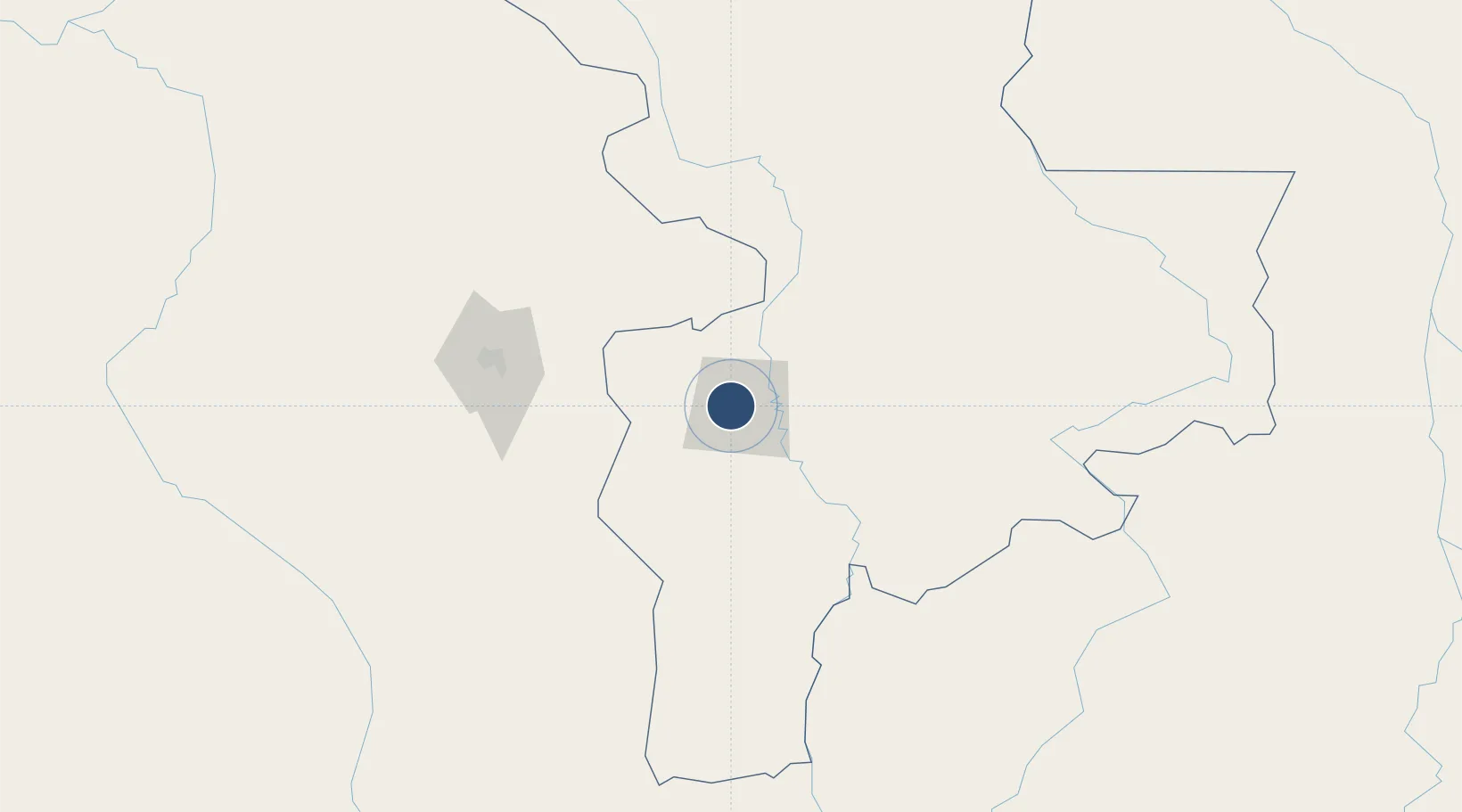
-6.1212°, 23.5690°
6,558 ft
Longest runway
1
Runways
2,221 ft
Elevation

Runway & Layout

Mbuji Mayi Airport runway & taxiway layout
Runway & taxiway layout — OpenStreetMap (ODbL) / OurAirports

Radio Frequencies

TWR
118.3 MHz
APP
124.1 MHz
A/G
890.3 MHz
RDO
OurAirports

Navaids

MBY VOR-DME Mbuji Mayi 112.90 MHz
OurAirports

Runways · 1

RunwayDimensions SurfaceTrue headingLit
16/34 6,558 × 148ft Asphalt 161°
OurAirports

Airport Specifications

IATA code
MJM
OurAirports
ICAO code
FZWA
OurAirports
Airport class
Medium airport
OurAirports
Scheduled service
Yes
OurAirports
Runway surface
Asphalt
OurAirports
Served city
Mbuji Mayi
OurAirports

Location

Location of FZWA
Natural Earth 10m (public domain) · Kasaï-Oriental · FZWA · -6.12, 23.57GoogleOSMYandex

Nearby Logistics Neighbours

Airports
  1. 1Kananga Airport124 km
  2. 2Tshumbe Airport248 km
  3. 3Kamina City Airport330 km
  4. 4Dundo Airport335 km
  5. 5Kamina Air Base336 km
Nearest neighbours — logibook spatial index (haversine) over the source coordinates
Cities
  1. 1Likasi643 km
  2. 2Cibitoke713 km
  3. 3Kasulu743 km
  4. 4Kasulu743 km
  5. 5Kipushi744 km
Nearest neighbours — logibook spatial index (haversine) over the source coordinates
Ports
  1. 1Matadi1120 km
  2. 2Boma1164 km
  3. 3Porto Do Ambriz1171 km
  4. 4Luanda1176 km
  5. 5Porto Amboim1195 km
Nearest neighbours — logibook spatial index (haversine) over the source coordinates
Trade Zones
  1. 1Manono Special Economic Zone448 km
  2. 2Lumwana Multi-Facility Economic Zone657 km
  3. 3Kigoma Special Economic Zone690 km
  4. 4Warubonda Special Economic Zone702 km
  5. 5Rusizi Industrial Park719 km
Nearest neighbours — logibook spatial index (haversine) over the source coordinates
DatabookThe Record of Consolidated Knowledge
Congo - Kinshasa beyond logistics?
Browse databook

All Sources

AirportsOurAirports
Public domain
Portsthe NGA World Port Index
Public domain (US gov)
LocationsUN/LOCODE
UN/LOCODE — free
Trade Zonesthe World Bank SEZ database
CC BY 4.0
Trade ZonesOpen Zone Map
CC BY
InfrastructureOpenStreetMap
ODbL 1.0
← Congo - Kinshasa airports