UN/LOCODE hub · Congo - Kinshasa
CDLKS
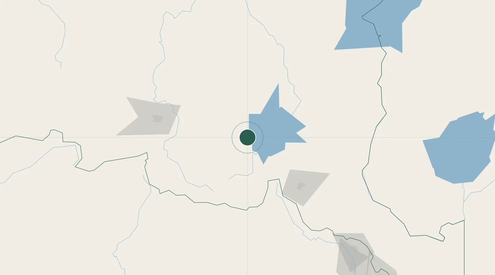
Likasi
-10.9833°, 26.7333°
635,768
Population
2
Transport functions
Transport Functions
Rail
Road
Hub Profile
Place type
Populated place
Region
Haut-Katanga
Population
635,768
Time zone
Africa/Lubumbashi
Elevation
1,288 m
Location
Nearby Logistics Neighbours
Cities
- 1Kipushi101 km
- 2Lubumbashi113 km
- 3Mutasa218 km
- 4Kalulishi253 km
- 5Kalulushi253 km
Ports
- 1Beira1312 km
- 2Quelimane1335 km
- 3Chinde1346 km
- 4Porto Belo1350 km
- 5Sumbe1408 km
Airports
- 1Lubumbashi International Airport110 km
- 2Kolwezi Airport136 km
- 3Solwesi Airport138 km
- 4Kalumbila Airport199 km
- 5Kasompe Airport217 km
DatabookThe Record of Consolidated Knowledge
Congo - Kinshasa beyond logistics?