Small airport · Congo - Kinshasa
Ilebo AirportFZVS
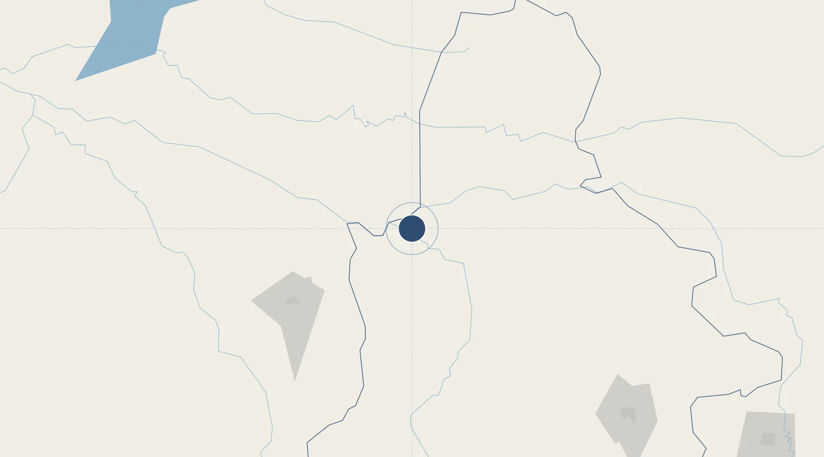
-4.3299°, 20.5901°
4,117 ft
Longest runway
1
Runways
1,450 ft
Elevation
Runway & Layout

Runways · 1
| Runway | Dimensions | Surface | True heading | Lit |
|---|---|---|---|---|
| 07/25 | 4,117 × —ft | grass | — | — |
Airport Specifications
IATA code
PFR
ICAO code
FZVS
Airport class
Small airport
Scheduled service
Yes
Runway surface
grass
Served city
Ilebo
Location
Nearby Logistics Neighbours
Airports
- 1Kikwit Airport215 km
- 2Kananga Airport272 km
- 3Dundo Airport342 km
- 4Inongo Airport368 km
- 5Bandundu Airport374 km
Cities
- 1Mossaka545 km
- 2Kinshasa583 km
- 3Santa Clara731 km
- 4Oyo789 km
- 5Matadi808 km
Ports
- 1Matadi808 km
- 2Boma852 km
- 3Porto Do Ambriz915 km
- 4Banana927 km
- 5Soyo Angola Lng Terminal936 km
Trade Zones
DatabookThe Record of Consolidated Knowledge
Congo - Kinshasa beyond logistics?