Medium airport · Angola
Saurimo AirportFNSA
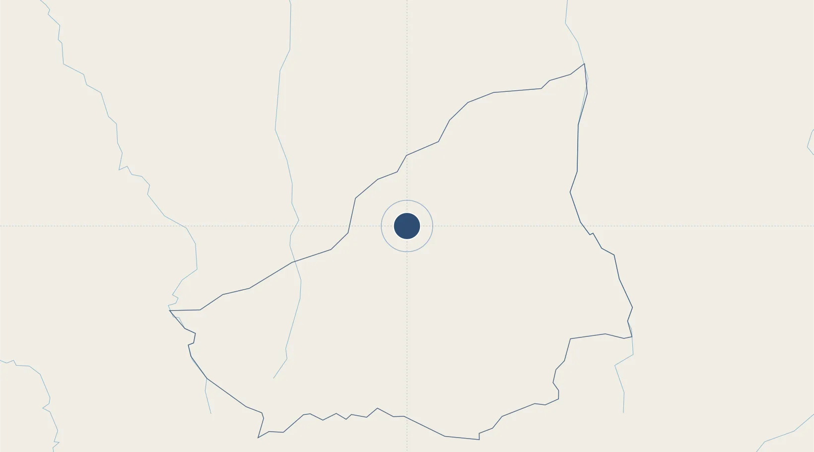
-9.6891°, 20.4319°
11,155 ft
Longest runway
1
Runways
3,584 ft
Elevation
Runway & Layout

Radio Frequencies
AFIS
118.1 MHz
Navaids
SA NDB Saurimo 367 kHz
Runways · 1
| Runway | Dimensions | Surface | True heading | Lit |
|---|---|---|---|---|
| 13/31 | 11,155 × 148ft | Asphalt | 130° | ✓ |
Airport Specifications
IATA code
VHC
ICAO code
FNSA
Airport class
Medium airport
Scheduled service
No
Runway surface
Asphalt
Served city
Saurimo
Location
Nearby Logistics Neighbours
Airports
- 1Luena Airport238 km
- 2Dundo Airport258 km
- 3Malanje Airport452 km
- 4Kananga Airport477 km
- 5Kuito Airport486 km
Cities
- 1Santa Clara678 km
- 2Likasi704 km
- 3Kipushi778 km
- 4Luanda789 km
- 5Lubumbashi802 km
Ports
- 1Porto Amboim740 km
- 2Sumbe741 km
- 3Luanda794 km
- 4Lobito805 km
- 5Porto Do Ambriz832 km
Trade Zones
DatabookThe Record of Consolidated Knowledge
Angola beyond logistics?