Medium airport · Congo - Kinshasa
Kananga AirportFZUA
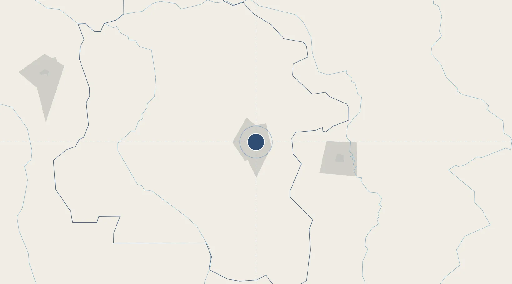
-5.9001°, 22.4692°
7,218 ft
Longest runway
1
Runways
2,139 ft
Elevation
Runway & Layout

Radio Frequencies
TWR
118.1 MHz
Navaids
KNG VOR-DME Kananga 115.50 MHz
KNG NDB Kananga 380 kHz
Runways · 1
| Runway | Dimensions | Surface | True heading | Lit |
|---|---|---|---|---|
| 11/29 | 7,218 × 148ft | Asphalt | 108° | ✓ |
Airport Specifications
IATA code
KGA
ICAO code
FZUA
Airport class
Medium airport
Scheduled service
Yes
Runway surface
Asphalt
Served city
Kananga
Location
Nearby Logistics Neighbours
Airports
- 1Mbuji Mayi Airport124 km
- 2Dundo Airport247 km
- 3Ilebo Airport272 km
- 4Tshumbe Airport295 km
- 5Kikwit Airport419 km
Ports
- 1Matadi998 km
- 2Boma1042 km
- 3Porto Do Ambriz1056 km
- 4Luanda1067 km
- 5Porto Amboim1099 km
Trade Zones
DatabookThe Record of Consolidated Knowledge
Congo - Kinshasa beyond logistics?