Large airport · Zambia

Kenneth Kaunda International AirportFLLS
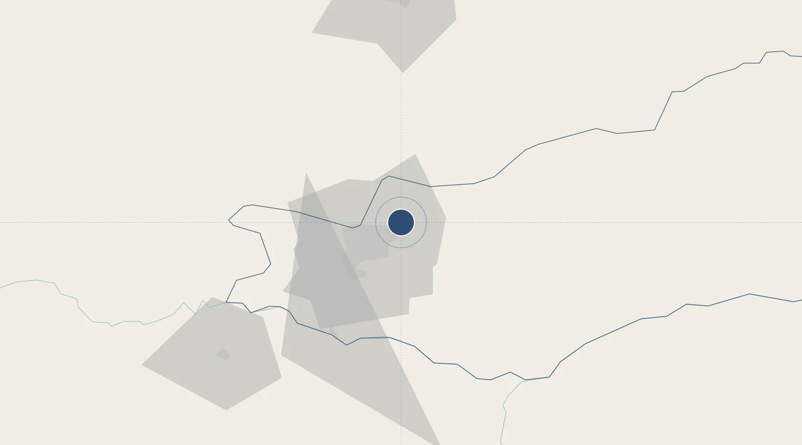
-15.3308°, 28.4527°
12,998 ft
Longest runway
2
Runways
3,779 ft
Elevation

Runway & Layout

Kenneth Kaunda International Airport runway & taxiway layout
Runway & taxiway layout — OpenStreetMap (ODbL) / OurAirports

Radio Frequencies

TWR
118.1 MHz
APP
121.3 MHz
OurAirports

Runways · 2

RunwayDimensions SurfaceTrue headingLit
10/28 12,998 × 150ft Asphalt 095°
15/33 2,700 × 100ft Grass 141°
OurAirports

Airport Specifications

IATA code
LUN
OurAirports
ICAO code
FLKK
OurAirports
Airport class
Large airport
OurAirports
Scheduled service
Yes
OurAirports
Runway surface
Asphalt
OurAirports
Served city
Lusaka
OurAirports

Location

Location of FLLS
Natural Earth 10m (public domain) · Lusaka · FLLS · -15.33, 28.45GoogleOSMYandex

Nearby Logistics Neighbours

Airports
  1. 1Lusaka City Airport16 km
  2. 2Kariba Airport140 km
  3. 3Peter Zuze Air Force Base261 km
  4. 4Simon Mwansa Kapwepwe International Airport263 km
  5. 5Southdowns Airport272 km
Nearest neighbours — logibook spatial index (haversine) over the source coordinates
Cities
  1. 1Mazabuka95 km
  2. 2Siavonga137 km
  3. 3Kalulishi281 km
  4. 4Kalulushi281 km
  5. 5Sakania287 km
Nearest neighbours — logibook spatial index (haversine) over the source coordinates
Ports
  1. 1Beira841 km
  2. 2Chinde928 km
  3. 3Quelimane942 km
  4. 4Porto Belo967 km
  5. 5Pebane1057 km
Nearest neighbours — logibook spatial index (haversine) over the source coordinates
DatabookThe Record of Consolidated Knowledge
Zambia beyond logistics?
Browse databook

All Sources

AirportsOurAirports
Public domain
Portsthe NGA World Port Index
Public domain (US gov)
LocationsUN/LOCODE
UN/LOCODE — free
Trade Zonesthe World Bank SEZ database
CC BY 4.0
Trade ZonesOpen Zone Map
CC BY
InfrastructureOpenStreetMap
ODbL 1.0
← Zambia airports