UN/LOCODE hub · South Africa
ZABAB
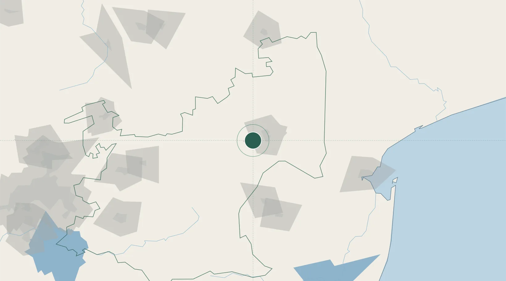
Barberton
-25.4592°, 30.9813°
67,927
Population
1
Transport functions
Transport Functions
Rail
Hub Profile
Place type
District seat
Region
Mpumalanga
Population
67,927
Time zone
Africa/Johannesburg
Elevation
853 m
Logistics facilities
1
Location
Nearby Logistics Neighbours
DatabookThe Record of Consolidated Knowledge
South Africa beyond logistics?