Transport Functions
Road
Multimodal
Hub Profile
Place type
Local administrative seat
Region
Baden-Wurttemberg
Population
3,874
Time zone
Europe/Berlin
Elevation
274 m
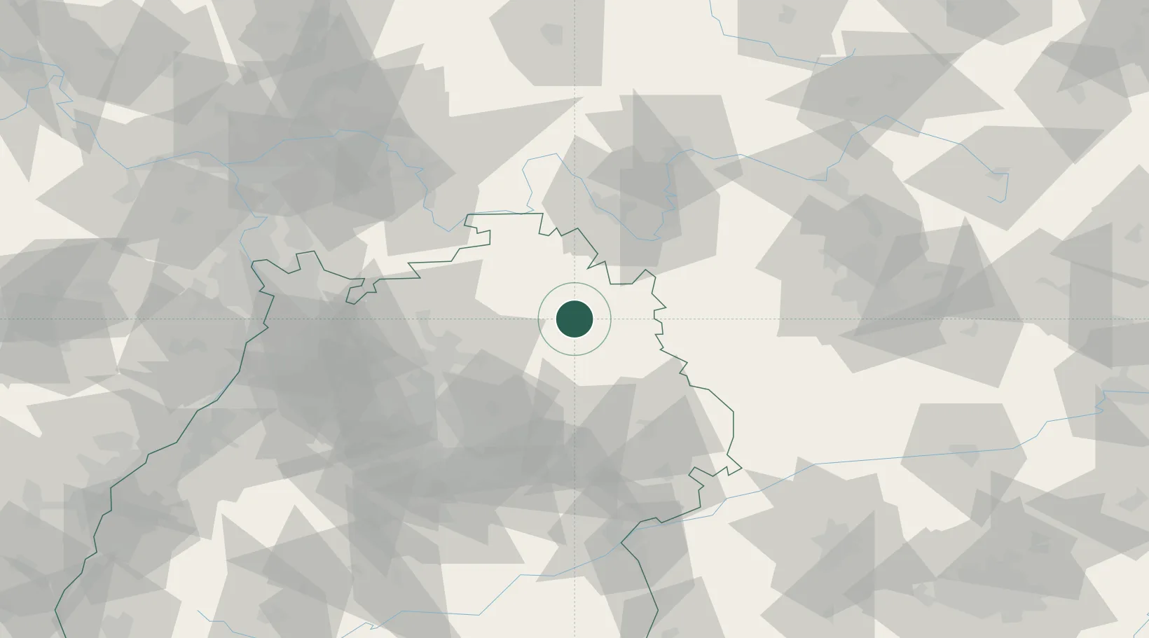
Location
Nearby Logistics Neighbours
Cities
- 1Künzelsau9 km
- 2Niederstetten12 km
- 3Schrozberg13 km
- 4Niedernhall13 km
- 5Weissbach (Hohenlohe)14 km
Airports
- 1Niederstetten Army Air Base14 km
- 2Adolf Würth Airport24 km
- 3Stuttgart Airport82 km
- 4Mannheim-City Airport93 km
- 5Nuremberg Airport95 km
Trade Zones
- 1ZFU Neuhof172 km
- 2ZFU Hautepierre173 km
- 3ZFU La Cité Behren-lès-Forbach208 km
- 4ZFU Mulhouse252 km
- 5Luxembourg Free Port260 km
DatabookThe Record of Consolidated Knowledge
Germany beyond logistics?