Transport Functions
Rail
Road
Hub Profile
Place type
Local administrative seat
Region
Rheinland-Pfalz
Population
1,135
Time zone
Europe/Berlin
Elevation
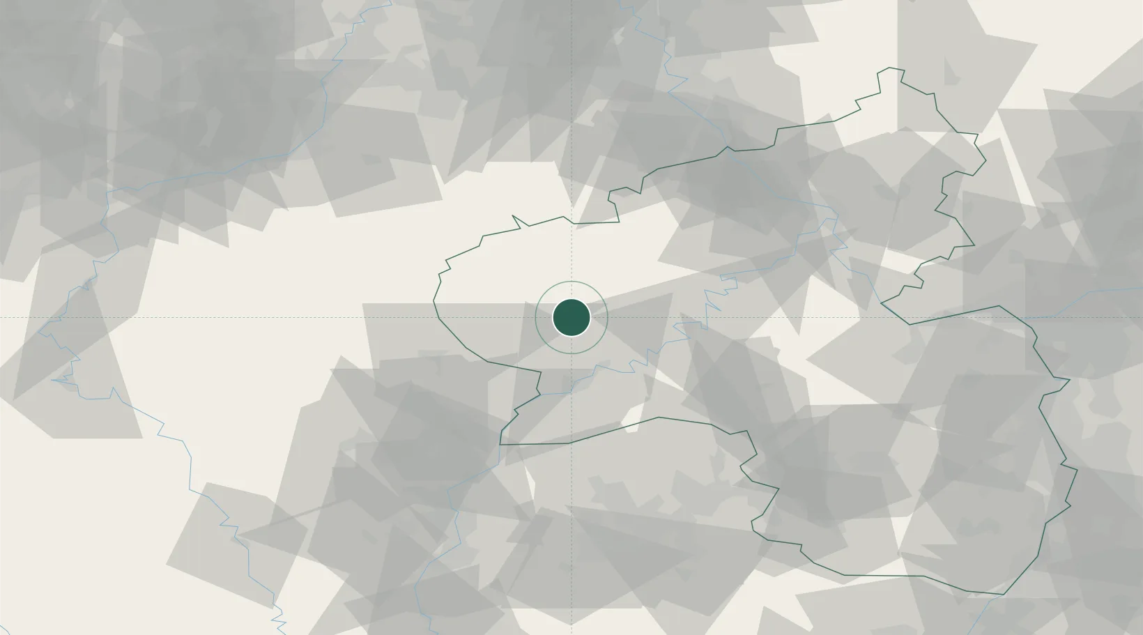
355 m
Location
Nearby Logistics Neighbours
Cities
- 1Binsfeld bei Wittlich7 km
- 2Balesfeld13 km
- 3Grosslittgen14 km
- 4Karl14 km
- 5Alsdorf, Bitburg17 km
Airports
- 1Spangdahlem Air Base6 km
- 2Büchel Air Base37 km
- 3Frankfurt-Hahn Airport47 km
- 4Luxembourg-Findel International Airport51 km
- 5Nörvenich Air Base93 km
Trade Zones
- 1Luxembourg Free Port49 km
- 2ZFU La Cité Behren-lès-Forbach95 km
- 3ZFU Woippy-Metz100 km
- 4Rheinische Revier SWZ103 km
- 5ZFU Metz105 km
DatabookThe Record of Consolidated Knowledge
Germany beyond logistics?