UN/LOCODE hub · Germany
DEBFW

Binsfeld bei Wittlich

49.9667°, 6.7000°
1
Transport functions

Transport Functions

Multimodal
UN/LOCODE

Hub Profile

Region
RP
GeoNames

Location

Location of DEBFW
Natural Earth 10m (public domain) · RP · DEBFW · 49.97, 6.70GoogleOSMYandex

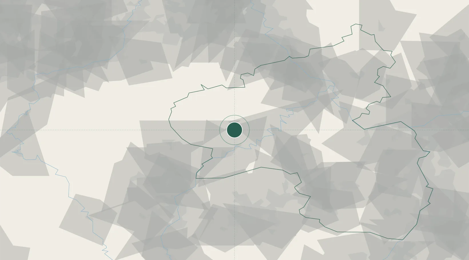
Nearby Logistics Neighbours

Cities
  1. 1Badem7 km
  2. 2Grosslittgen10 km
  3. 3Salmtal11 km
  4. 4Karl12 km
  5. 5Wittlich13 km
Nearest neighbours — logibook spatial index (haversine) over the source coordinates
Ports
  1. 1Bruxelles194 km
  2. 2Antwerpen214 km
  3. 3Ghent243 km
  4. 4Dordrecht251 km
  5. 5Hansweert252 km
Nearest neighbours — logibook spatial index (haversine) over the source coordinates
Airports
  1. 1Spangdahlem Air Base1 km
  2. 2Büchel Air Base35 km
  3. 3Frankfurt-Hahn Airport40 km
  4. 4Luxembourg-Findel International Airport52 km
  5. 5Ramstein Air Base88 km
Nearest neighbours — logibook spatial index (haversine) over the source coordinates
Trade Zones
  1. 1Luxembourg Free Port50 km
  2. 2ZFU La Cité Behren-lès-Forbach90 km
  3. 3ZFU Woippy-Metz99 km
  4. 4ZFU Metz103 km
  5. 5Rheinische Revier SWZ107 km
Nearest neighbours — logibook spatial index (haversine) over the source coordinates
DatabookThe Record of Consolidated Knowledge
Germany beyond logistics?
Browse databook

All Sources

LocationsUN/LOCODE
UN/LOCODE — free
Portsthe NGA World Port Index
Public domain (US gov)
AirportsOurAirports
Public domain
Trade Zonesthe World Bank SEZ database
CC BY 4.0
Trade ZonesOpen Zone Map
CC BY
← Germany locations