Transport Functions
Rail
Road
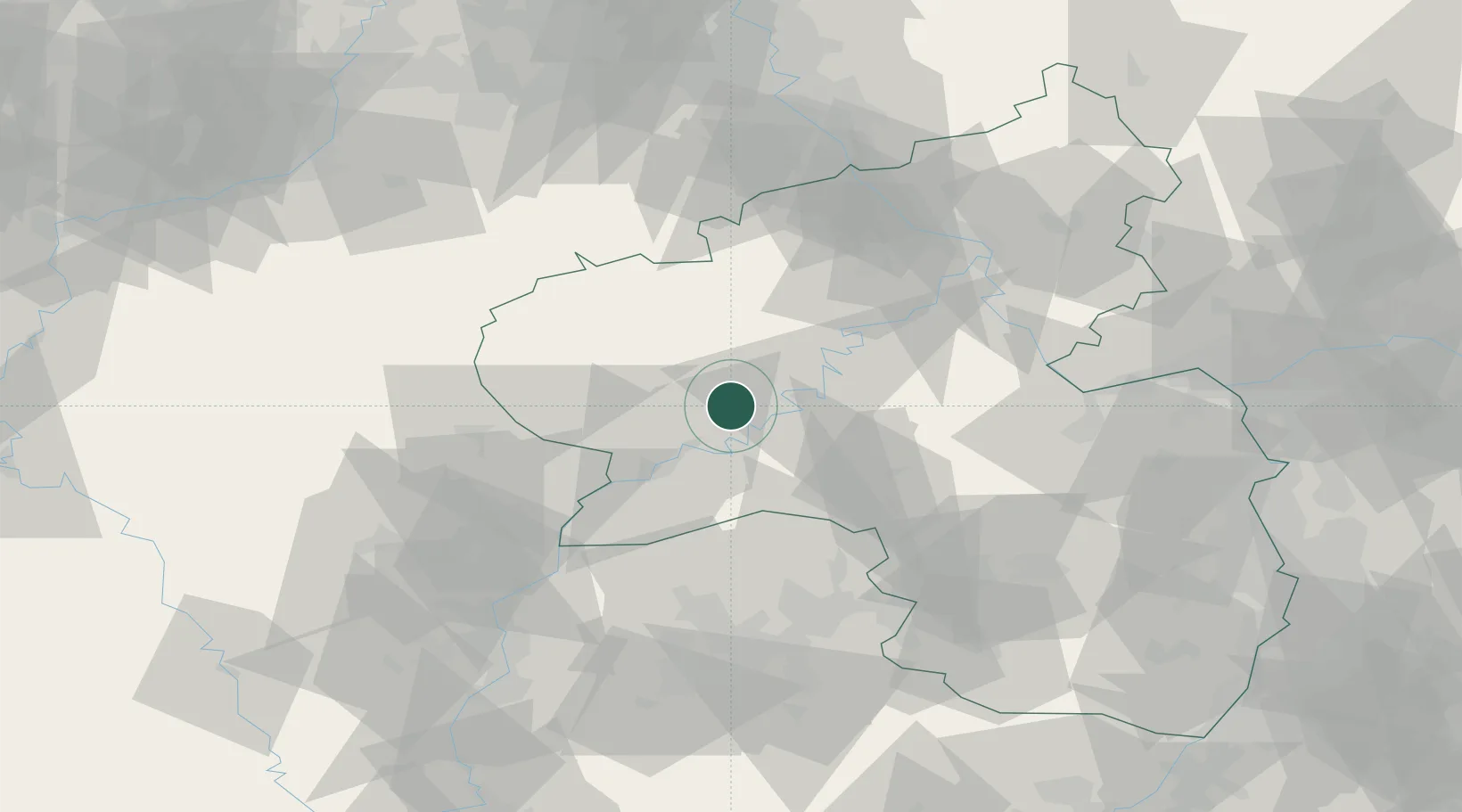
Hub Profile
Place type
Local administrative seat
Region
Rheinland-Pfalz
Population
2,316
Time zone
Europe/Berlin
Elevation
184 m
Location
Nearby Logistics Neighbours
Cities
- 1Wittlich6 km
- 2Piesport7 km
- 3Platten9 km
- 4Minheim10 km
- 5Neumagen-Dhron10 km
Airports
- 1Spangdahlem Air Base12 km
- 2Frankfurt-Hahn Airport30 km
- 3Büchel Air Base31 km
- 4Luxembourg-Findel International Airport57 km
- 5Ramstein Air Base77 km
Trade Zones
- 1Luxembourg Free Port56 km
- 2ZFU La Cité Behren-lès-Forbach85 km
- 3ZFU Woippy-Metz101 km
- 4ZFU Metz105 km
- 5Rheinische Revier SWZ114 km
DatabookThe Record of Consolidated Knowledge
Germany beyond logistics?