UN/LOCODE hub · Germany
DEKLR

Karl

50.0500°, 6.8000°
230
Population
2
Transport functions

Transport Functions

Road
Multimodal
UN/LOCODE

Hub Profile

Place type
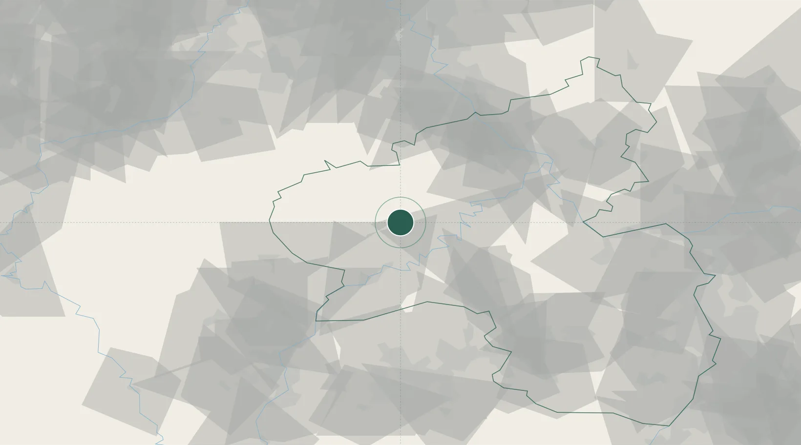
Local administrative seat
GeoNames
Region
Rheinland-Pfalz
GeoNames
Population
230
GeoNames
Time zone
Europe/Berlin
GeoNames
Elevation
327 m
GeoNames

Location

Location of DEKLR
Natural Earth 10m (public domain) · Rheinland-Pfalz · DEKLR · 50.05, 6.80GoogleOSMYandex

Nearby Logistics Neighbours

Cities
  1. 1Grosslittgen2 km
  2. 2Wittlich10 km
  3. 3Flussbach10 km
  4. 4Binsfeld bei Wittlich12 km
  5. 5Salmtal14 km
Nearest neighbours — logibook spatial index (haversine) over the source coordinates
Ports
  1. 1Bruxelles196 km
  2. 2Antwerpen213 km
  3. 3Dordrecht248 km
  4. 4Hansweert251 km
  5. 5Rotterdam262 km
Nearest neighbours — logibook spatial index (haversine) over the source coordinates
Airports
  1. 1Spangdahlem Air Base11 km
  2. 2Büchel Air Base23 km
  3. 3Frankfurt-Hahn Airport35 km
  4. 4Luxembourg-Findel International Airport63 km
  5. 5Nörvenich Air Base87 km
Nearest neighbours — logibook spatial index (haversine) over the source coordinates
Trade Zones
  1. 1Luxembourg Free Port62 km
  2. 2ZFU La Cité Behren-lès-Forbach99 km
  3. 3Rheinische Revier SWZ100 km
  4. 4ZFU Woippy-Metz110 km
  5. 5ZFU Metz115 km
Nearest neighbours — logibook spatial index (haversine) over the source coordinates
DatabookThe Record of Consolidated Knowledge
Germany beyond logistics?
Browse databook

All Sources

LocationsUN/LOCODE
UN/LOCODE — free
LocationsGeoNames
CC BY 4.0
Portsthe NGA World Port Index
Public domain (US gov)
AirportsOurAirports
Public domain
Trade Zonesthe World Bank SEZ database
CC BY 4.0
Trade ZonesOpen Zone Map
CC BY
← Germany locations