Transport Functions
Port
Road
Hub Profile
Place type
Populated place
Region
Blekinge
Time zone
Europe/Stockholm
Elevation
12 m
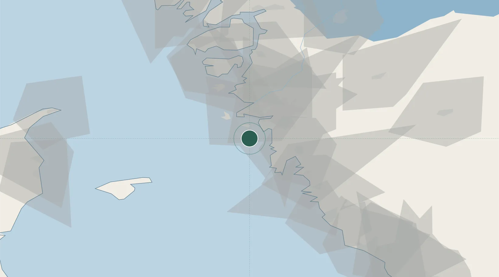
Location
Nearby Logistics Neighbours
Cities
- 1Sandvik, Styrsö6 km
- 2Kullavik10 km
- 3Hönö16 km
- 4Göteborg17 km
- 5Heberg17 km
Ports
- 1Goteborg19 km
- 2Marstrand37 km
- 3Stenungsund57 km
- 4Varberg58 km
- 5Skagen Havn72 km
Airports
- 1Säve Airport24 km
- 2Göteborg Landvetter Airport31 km
- 3Læsø Airport57 km
- 4Trollhättan-Vänersborg Airport90 km
- 5Sindal Airport93 km
Trade Zones
DatabookThe Record of Consolidated Knowledge
Sweden beyond logistics?