Large airport · Sweden

Göteborg Landvetter AirportESGG
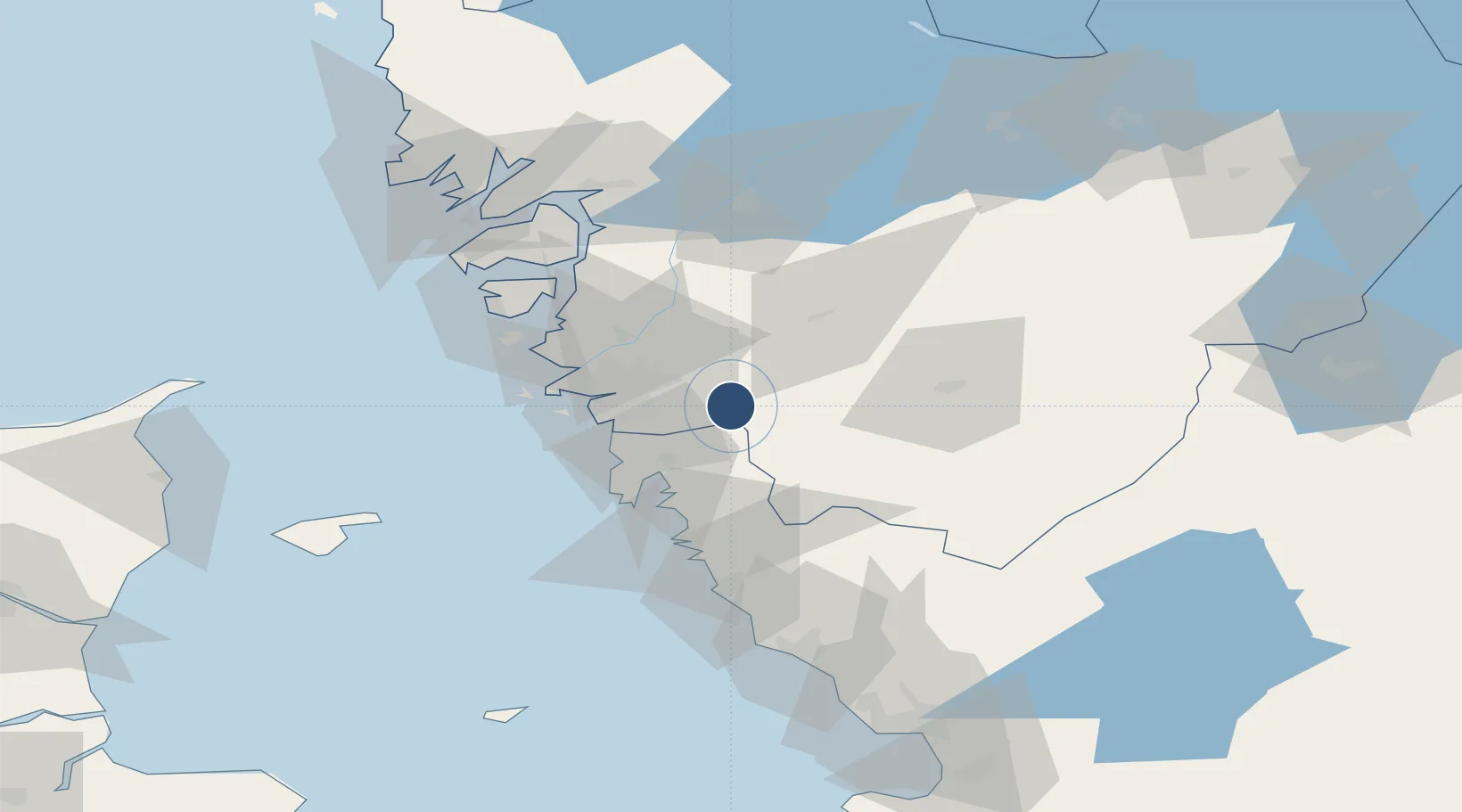
57.6628°, 12.2798°
10,823 ft
Longest runway
1
Runways
506 ft
Elevation

Runway & Layout

Göteborg Landvetter Airport runway & taxiway layout
Runway & taxiway layout — OpenStreetMap (ODbL) / OurAirports

Radio Frequencies

ATIS
118.375 MHz
TWR
118.6 MHz
GCCD
121.9 MHz
GND
TCA
124.68 MHz
GOTEBORG APP
OurAirports

Navaids

LAV VOR-DME Landvetter 114.60 MHz
OurAirports

Runways · 1

RunwayDimensions SurfaceTrue headingLit
03/21 10,823 × 148ft Asphalt 026°
OurAirports

Airport Specifications

IATA code
GOT
OurAirports
ICAO code
ESGG
OurAirports
Airport class
Large airport
OurAirports
Scheduled service
Yes
OurAirports
Runway surface
Asphalt
OurAirports
Served city
Göteborg
OurAirports

Location

Location of ESGG
Natural Earth 10m (public domain) · Västra Götaland · ESGG · 57.66, 12.28GoogleOSMYandex

Nearby Logistics Neighbours

Airports
  1. 1Säve Airport27 km
  2. 2Trollhättan-Vänersborg Airport73 km
  3. 3Læsø Airport88 km
  4. 4Såtenäs Air Base89 km
  5. 5Råda Air Base103 km
Nearest neighbours — logibook spatial index (haversine) over the source coordinates
Cities
  1. 1Landvetter5 km
  2. 2Mölnlycke9 km
  3. 3Hindås10 km
  4. 4Pixbo/Härryda12 km
  5. 5Stenkullen14 km
Nearest neighbours — logibook spatial index (haversine) over the source coordinates
Ports
  1. 1Goteborg20 km
  2. 2Marstrand48 km
  3. 3Stenungsund54 km
  4. 4Varberg62 km
  5. 5Uddevalla78 km
Nearest neighbours — logibook spatial index (haversine) over the source coordinates
Trade Zones
  1. 1Gothenburg Boundless Customs Warehouse28 km
  2. 2Jönköping Free Zone108 km
  3. 3Freeport of Copenhagen- Nordhavn218 km
  4. 4MTS Malmö Transport and Spedition234 km
  5. 5Stockholm Free Zone387 km
Nearest neighbours — logibook spatial index (haversine) over the source coordinates
DatabookThe Record of Consolidated Knowledge
Sweden beyond logistics?
Browse databook

All Sources

AirportsOurAirports
Public domain
Portsthe NGA World Port Index
Public domain (US gov)
LocationsUN/LOCODE
UN/LOCODE — free
Trade Zonesthe World Bank SEZ database
CC BY 4.0
Trade ZonesOpen Zone Map
CC BY
InfrastructureOpenStreetMap
ODbL 1.0
← Sweden airports