UN/LOCODE hub · Belgium
BEHSL

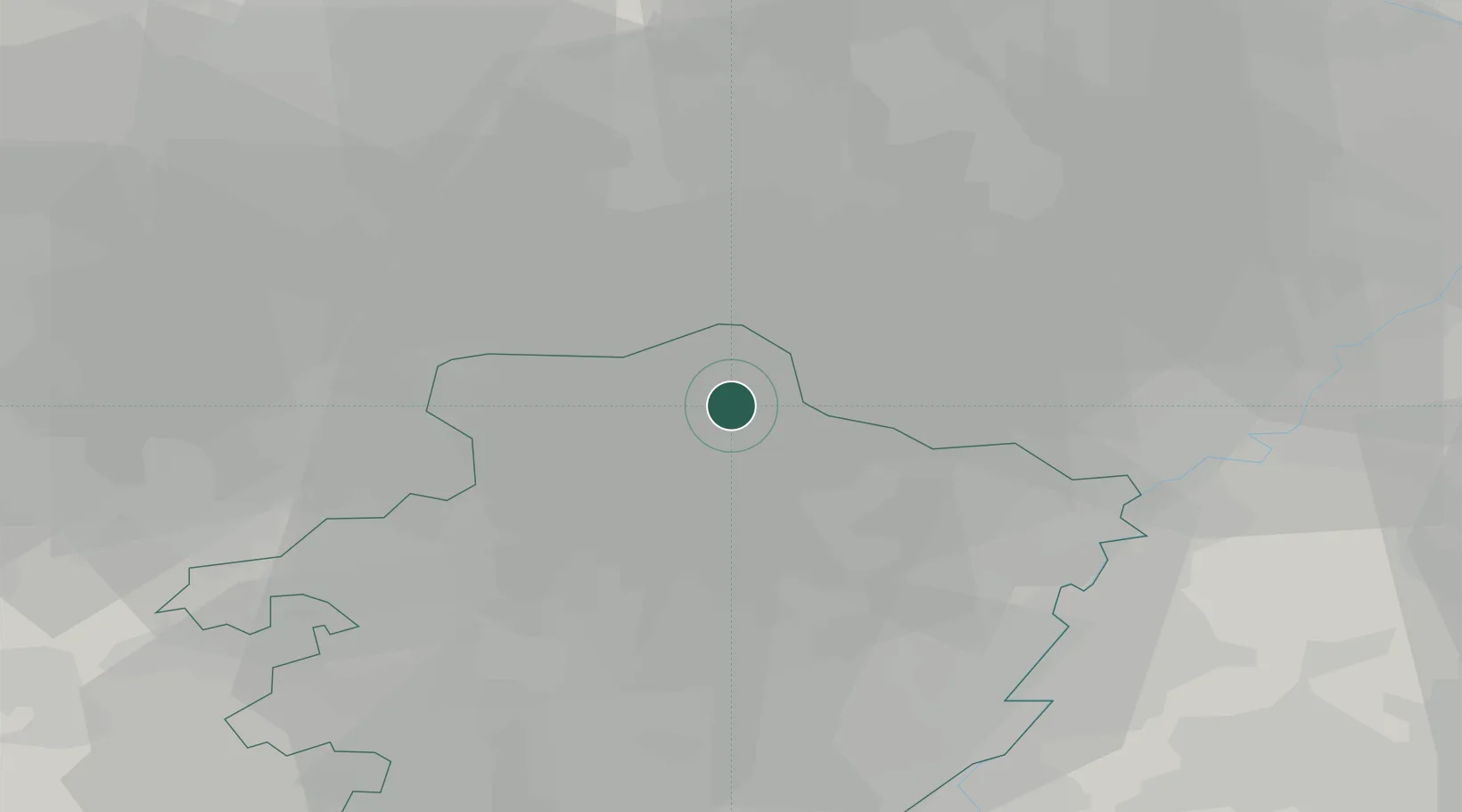
Sint-Huibrechts-Lille

51.2167°, 5.4833°
3,354
Population
2
Transport functions

Transport Functions

Port
Road
UN/LOCODE

Hub Profile

Place type
Populated place
GeoNames
Region
Flanders
GeoNames
Population
3,354
GeoNames
Time zone
Europe/Brussels
GeoNames
Elevation
40 m
GeoNames

Location

Location of BEHSL
Natural Earth 10m (public domain) · Flanders · BEHSL · 51.22, 5.48GoogleOSMYandex

Nearby Logistics Neighbours

Cities
  1. 1Herent3 km
  2. 2Achel4 km
  3. 3Kaulille4 km
  4. 4Neerpelt5 km
  5. 5Overpelt5 km
Nearest neighbours — logibook spatial index (haversine) over the source coordinates
Ports
  1. 1Antwerpen76 km
  2. 2Dordrecht88 km
  3. 3Bruxelles88 km
  4. 4Rotterdam103 km
  5. 5Hansweert106 km
Nearest neighbours — logibook spatial index (haversine) over the source coordinates
Airports
  1. 1Kleine Brogel Air Base6 km
  2. 2Kempen Airport Budel9 km
  3. 3Eindhoven Airport27 km
  4. 4Maastricht Aachen Airport39 km
  5. 5Geilenkirchen Air Base48 km
Nearest neighbours — logibook spatial index (haversine) over the source coordinates
Trade Zones
  1. 1Rheinische Revier SWZ71 km
  2. 2Freeport of Duisburg81 km
  3. 3ZFU Maubeuge, Louvroil152 km
  4. 4ZFU Condé sur lEscaut158 km
  5. 5ZFU Tourcoing172 km
Nearest neighbours — logibook spatial index (haversine) over the source coordinates
DatabookThe Record of Consolidated Knowledge
Belgium beyond logistics?
Browse databook

All Sources

LocationsUN/LOCODE
UN/LOCODE — free
LocationsGeoNames
CC BY 4.0
Portsthe NGA World Port Index
Public domain (US gov)
AirportsOurAirports
Public domain
Trade Zonesthe World Bank SEZ database
CC BY 4.0
Trade ZonesOpen Zone Map
CC BY
← Belgium locations