Transport Functions
Rail
Road
Hub Profile
Place type
Populated place
Region
England
Time zone
Europe/London
Elevation
5 m
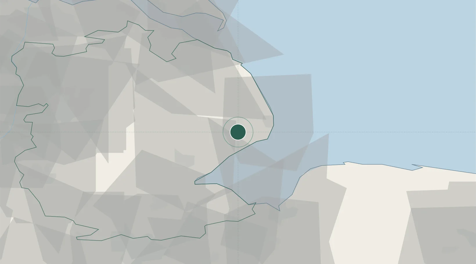
Location
Nearby Logistics Neighbours
Cities
- 1Orby8 km
- 2Skegness10 km
- 3Hogsthorpe11 km
- 4Ingoldmells12 km
- 5Chapel Saint Leonards14 km
Ports
- 1Boston22 km
- 2King's Lynn43 km
- 3Wisbech50 km
- 4Grimsby55 km
- 5Immingham63 km
Airports
- 1RAF Coningsby25 km
- 2RAF Cranwell47 km
- 3RAF Waddington49 km
- 4RAF Barkston Heath54 km
- 5RAF Marham57 km
Trade Zones
DatabookThe Record of Consolidated Knowledge
United Kingdom beyond logistics?