UN/LOCODE hub · Denmark
DKRMO

Romo

55.1333°, 8.5167°
2
Transport functions

Transport Functions

Port
Road
UN/LOCODE

Hub Profile

Region
83
GeoNames

Location

Location of DKRMO
Natural Earth 10m (public domain) · 83 · DKRMO · 55.13, 8.52GoogleOSMYandex

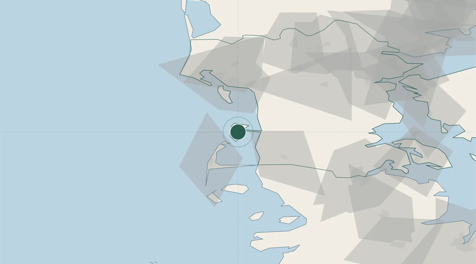
Nearby Logistics Neighbours

Cities
  1. 1Westerland29 km
  2. 2Neukirchen32 km
  3. 3Fanoe34 km
  4. 4Esbjerg37 km
  5. 5Süderlügum39 km
Nearest neighbours — logibook spatial index (haversine) over the source coordinates
Ports
  1. 1Esbjerg37 km
  2. 2Abenra59 km
  3. 3Ensted60 km
  4. 4Haderslev64 km
  5. 5Flensburg69 km
Nearest neighbours — logibook spatial index (haversine) over the source coordinates
Airports
  1. 1Westerland Sylt Airport27 km
  2. 2Esbjerg Airport44 km
  3. 3Skrydstrup Air Base49 km
  4. 4Kolding Vamdrup Airfield62 km
  5. 5Billund Airport79 km
Nearest neighbours — logibook spatial index (haversine) over the source coordinates
Trade Zones
  1. 1Freeport of Kiel139 km
  2. 2Freeport of Cuxhaven (Freihafen Cuxhaven)146 km
  3. 3Freeport of Emden218 km
  4. 4Freeport of Bremerhaven (Freihafen Bremerhaven)228 km
  5. 5Freeport of Copenhagen- Nordhavn266 km
Nearest neighbours — logibook spatial index (haversine) over the source coordinates
DatabookThe Record of Consolidated Knowledge
Denmark beyond logistics?
Browse databook

All Sources

LocationsUN/LOCODE
UN/LOCODE — free
Portsthe NGA World Port Index
Public domain (US gov)
AirportsOurAirports
Public domain
Trade Zonesthe World Bank SEZ database
CC BY 4.0
Trade ZonesOpen Zone Map
CC BY
← Denmark locations