Transport Functions
Rail
Road
Hub Profile
Place type
Local administrative seat
Region
Bavaria
Population
1,570
Time zone
Europe/Berlin
Elevation
404 m
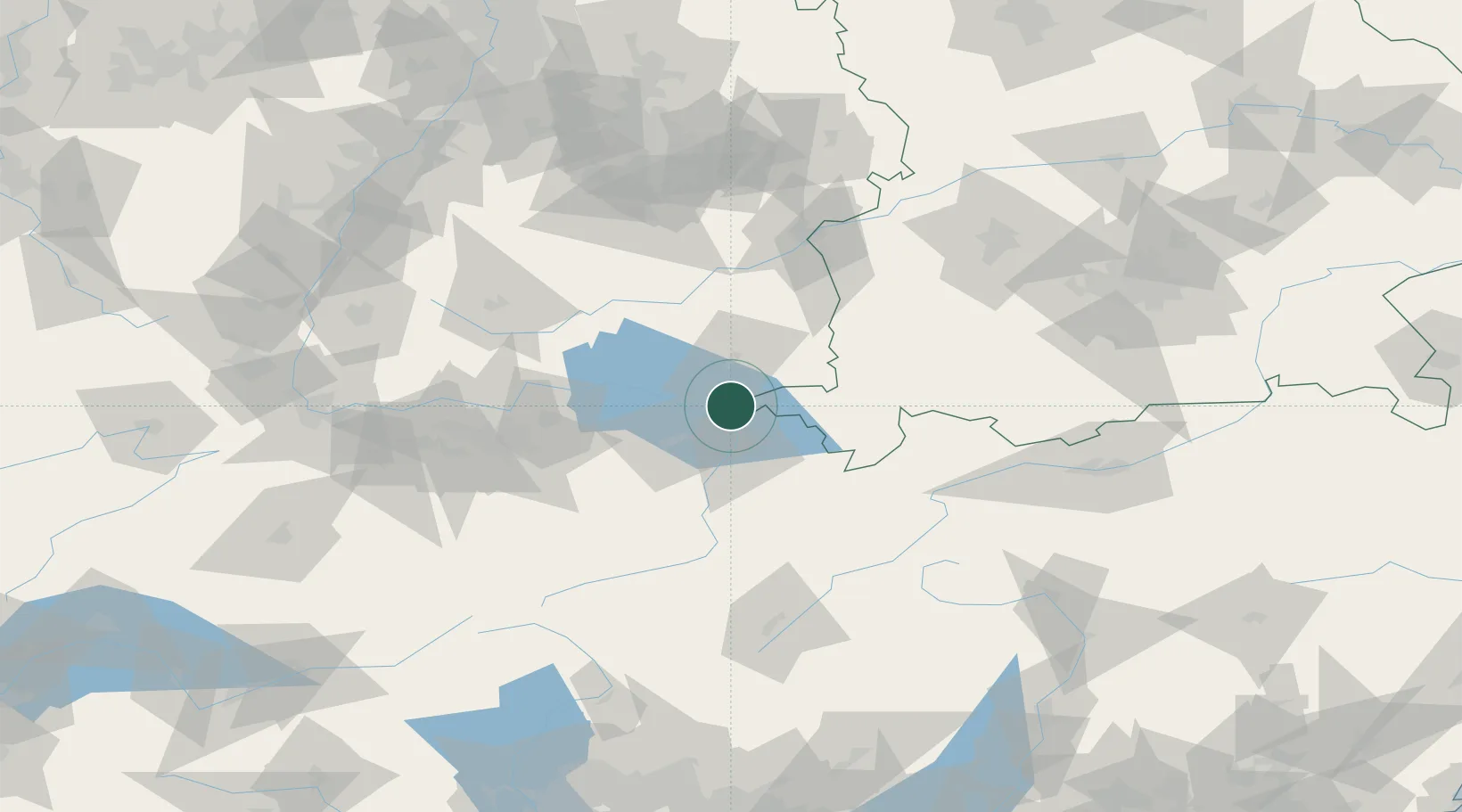
Location
Nearby Logistics Neighbours
Cities
- 1Kressbronn am Bodensee2 km
- 2Wasserburg am Bodensee2 km
- 3Lindau6 km
- 4Eriskirch8 km
- 5Bernried11 km
Ports
- 1Porto Di Lido-Venezia323 km
- 2Porto Di Chioggia333 km
- 3Nogaro338 km
- 4Grado351 km
- 5Genova358 km
Airports
Trade Zones
- 1Livigno Free Trade Zone123 km
- 2ZFU Mulhouse172 km
- 3ZFU Neuhof174 km
- 4ZFU Hautepierre182 km
- 5Magazzini Generali Con Chiasso200 km
DatabookThe Record of Consolidated Knowledge
Germany beyond logistics?