UN/LOCODE hub · Germany
DEKAB

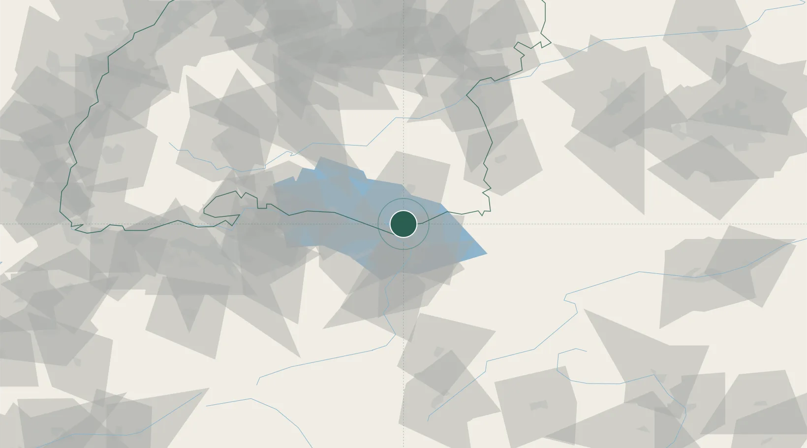
Kressbronn am Bodensee

47.6000°, 9.6000°
7,834
Population
2
Transport functions

Transport Functions

Road
Multimodal
UN/LOCODE

Hub Profile

Place type
Local administrative seat
GeoNames
Region
Baden-Wurttemberg
GeoNames
Population
7,834
GeoNames
Time zone
Europe/Berlin
GeoNames
Elevation
413 m
GeoNames

Location

Location of DEKAB
Natural Earth 10m (public domain) · Baden-Wurttemberg · DEKAB · 47.60, 9.60GoogleOSMYandex

Nearby Logistics Neighbours

Cities
  1. 1Nonnenhorn2 km
  2. 2Wasserburg am Bodensee5 km
  3. 3Eriskirch6 km
  4. 4Lindau8 km
  5. 5Bernried10 km
Nearest neighbours — logibook spatial index (haversine) over the source coordinates
Ports
  1. 1Porto Di Lido-Venezia326 km
  2. 2Porto Di Chioggia335 km
  3. 3Nogaro341 km
  4. 4Grado353 km
  5. 5Genova360 km
Nearest neighbours — logibook spatial index (haversine) over the source coordinates
Airports
  1. 1Bodensee Airport Friedrichshafen10 km
  2. 2Sankt Gallen Altenrhein Airport13 km
  3. 3Mengen-Hohentengen Airfield53 km
  4. 4Memmingen Allgau Airport64 km
  5. 5Laupheim Air Base73 km
Nearest neighbours — logibook spatial index (haversine) over the source coordinates
Trade Zones
  1. 1Livigno Free Trade Zone125 km
  2. 2ZFU Mulhouse170 km
  3. 3ZFU Neuhof172 km
  4. 4ZFU Hautepierre180 km
  5. 5Magazzini Generali Con Chiasso201 km
Nearest neighbours — logibook spatial index (haversine) over the source coordinates
DatabookThe Record of Consolidated Knowledge
Germany beyond logistics?
Browse databook

All Sources

LocationsUN/LOCODE
UN/LOCODE — free
LocationsGeoNames
CC BY 4.0
Portsthe NGA World Port Index
Public domain (US gov)
AirportsOurAirports
Public domain
Trade Zonesthe World Bank SEZ database
CC BY 4.0
Trade ZonesOpen Zone Map
CC BY
← Germany locations