Transport Functions
Multimodal
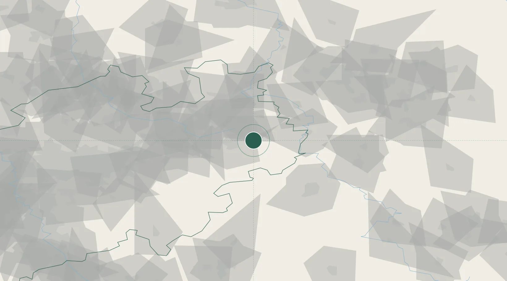
Hub Profile
Place type
Local administrative seat
Region
North Rhine-Westphalia
Population
9,716
Time zone
Europe/Berlin
Elevation
247 m
Location
Nearby Logistics Neighbours
Cities
- 1Sennelager16 km
- 2Hövelhof21 km
- 3Horn-Bad Meinberg24 km
- 4Oerlinghausen30 km
- 5Boffzen30 km
Airports
- 1Paderborn Lippstadt Airport29 km
- 2Bielefeld Airport36 km
- 3Kassel Airport49 km
- 4Bückeburg Air Base58 km
- 5Fritzlar Army Airfield76 km
Trade Zones
DatabookThe Record of Consolidated Knowledge
Germany beyond logistics?