Large airport · Nigeria

Maiduguri International AirportDNMA
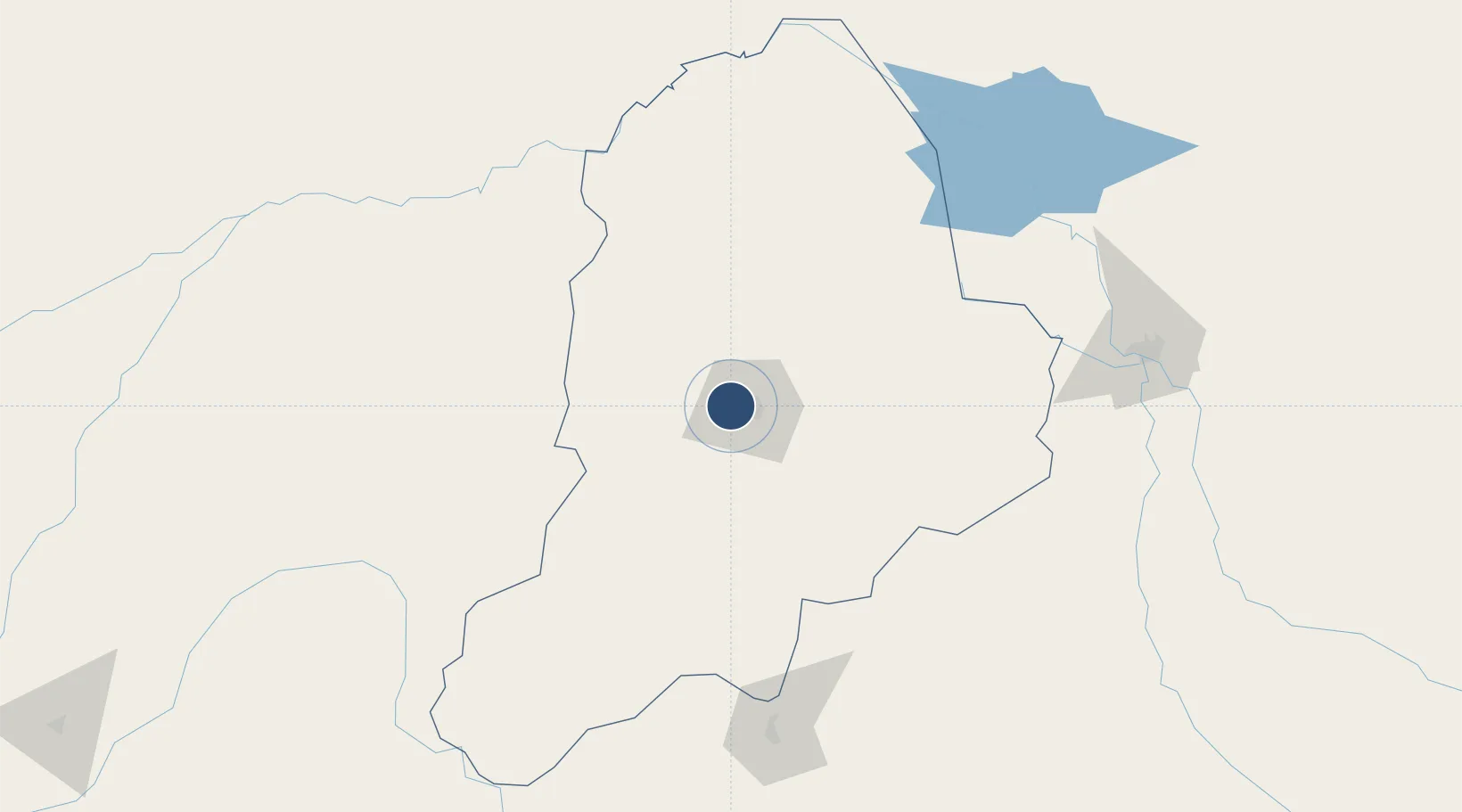
11.8542°, 13.0807°
9,846 ft
Longest runway
1
Runways
1,099 ft
Elevation

Runway & Layout

Maiduguri International Airport runway & taxiway layout
Runway & taxiway layout — OpenStreetMap (ODbL) / OurAirports

Radio Frequencies

TWR
123.1 MHz
OurAirports

Navaids

MA NDB Maiduguri 332 kHz
MIU VOR-DME Maiduguri 113.70 MHz
OurAirports

Runways · 1

RunwayDimensions SurfaceTrue headingLit
05/23 9,846 × 197ft Asphalt 047°
OurAirports

Airport Specifications

IATA code
MIU
OurAirports
ICAO code
DNMA
OurAirports
Airport class
Large airport
OurAirports
Scheduled service
Yes
OurAirports
Runway surface
Asphalt
OurAirports
Served city
Maiduguri
OurAirports

Location

Location of DNMA
Natural Earth 10m (public domain) · Borno · DNMA · 11.85, 13.08GoogleOSMYandex

Nearby Logistics Neighbours

Airports
  1. 1Salak Airport202 km
  2. 2N'Djamena International Airport215 km
  3. 3Garoua International Airport282 km
  4. 4Gombe Lawanti International Airport294 km
  5. 5Yola Airport297 km
Nearest neighbours — logibook spatial index (haversine) over the source coordinates
Cities
  1. 1Chagoua219 km
  2. 2Gombe272 km
  3. 3Garoua286 km
  4. 4Borno364 km
  5. 5Kano497 km
Nearest neighbours — logibook spatial index (haversine) over the source coordinates
Ports
  1. 1Calabar928 km
  2. 2Douala945 km
  3. 3Limboh Terminal976 km
  4. 4Kole Oil Terminal982 km
  5. 5Antan Oil Terminal997 km
Nearest neighbours — logibook spatial index (haversine) over the source coordinates
Trade Zones
  1. 1Banki Border Free Zone134 km
  2. 2Djermaya Special Economic Zone228 km
  3. 3Djamboutou Garoua Industrial Zone284 km
  4. 4Sebore Farms Export Processing Zone319 km
  5. 5Maigatari Border Free Trade Zone410 km
Nearest neighbours — logibook spatial index (haversine) over the source coordinates
DatabookThe Record of Consolidated Knowledge
Nigeria beyond logistics?
Browse databook

All Sources

AirportsOurAirports
Public domain
Portsthe NGA World Port Index
Public domain (US gov)
LocationsUN/LOCODE
UN/LOCODE — free
Trade Zonesthe World Bank SEZ database
CC BY 4.0
Trade ZonesOpen Zone Map
CC BY
InfrastructureOpenStreetMap
ODbL 1.0
← Nigeria airports