Medium airport · Cameroon
Salak AirportFKKL
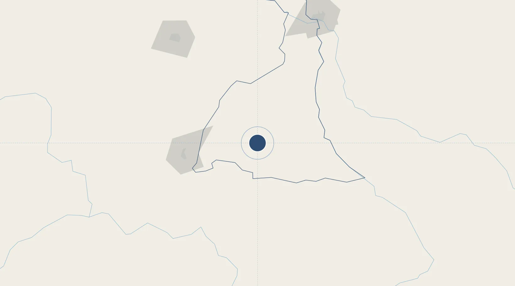
10.4514°, 14.2574°
6,890 ft
Longest runway
1
Runways
1,390 ft
Elevation
Runway & Layout

Radio Frequencies
TWR
118.9 MHz
A/G
890.3 MHz
RDO
Navaids
TJL NDB Maroua/Salak 364 kHz
Runways · 1
| Runway | Dimensions | Surface | True heading | Lit |
|---|---|---|---|---|
| 13/31 | 6,890 × 148ft | Asphalt | 130° | ✓ |
Airport Specifications
IATA code
MVR
ICAO code
FKKL
Airport class
Medium airport
Scheduled service
Yes
Runway surface
Asphalt
Served city
Maroua
Location
Nearby Logistics Neighbours
Airports
- 1Garoua International Airport158 km
- 2Maiduguri International Airport202 km
- 3N'Djamena International Airport205 km
- 4Yola Airport240 km
- 5Moundou Airport284 km
Ports
- 1Douala872 km
- 2Calabar895 km
- 3Limboh Terminal913 km
- 4Kole Oil Terminal933 km
- 5Moudi Marine Terminal949 km
Trade Zones
DatabookThe Record of Consolidated Knowledge
Cameroon beyond logistics?