Transport Functions
Multimodal
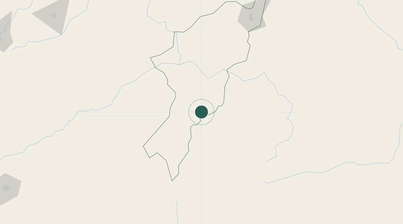
Hub Profile
Place type
Populated place
Region
Adamawa
Time zone
Africa/Lagos
Elevation
445 m
Location
Nearby Logistics Neighbours
Cities
- 1Garoua130 km
- 2Ngaoundéré192 km
- 3Gombe228 km
- 4Mararaba259 km
- 5Banana293 km
Ports
- 1Douala594 km
- 2Calabar610 km
- 3Limboh Terminal632 km
- 4Kole Oil Terminal650 km
- 5Moudi Marine Terminal666 km
Airports
- 1Yola Airport68 km
- 2Garoua International Airport130 km
- 3N'Gaoundéré Airport191 km
- 4Gombe Lawanti International Airport248 km
- 5Salak Airport284 km
Trade Zones
DatabookThe Record of Consolidated Knowledge
Nigeria beyond logistics?