Large airport · Chad

N'Djamena International AirportFTTJ
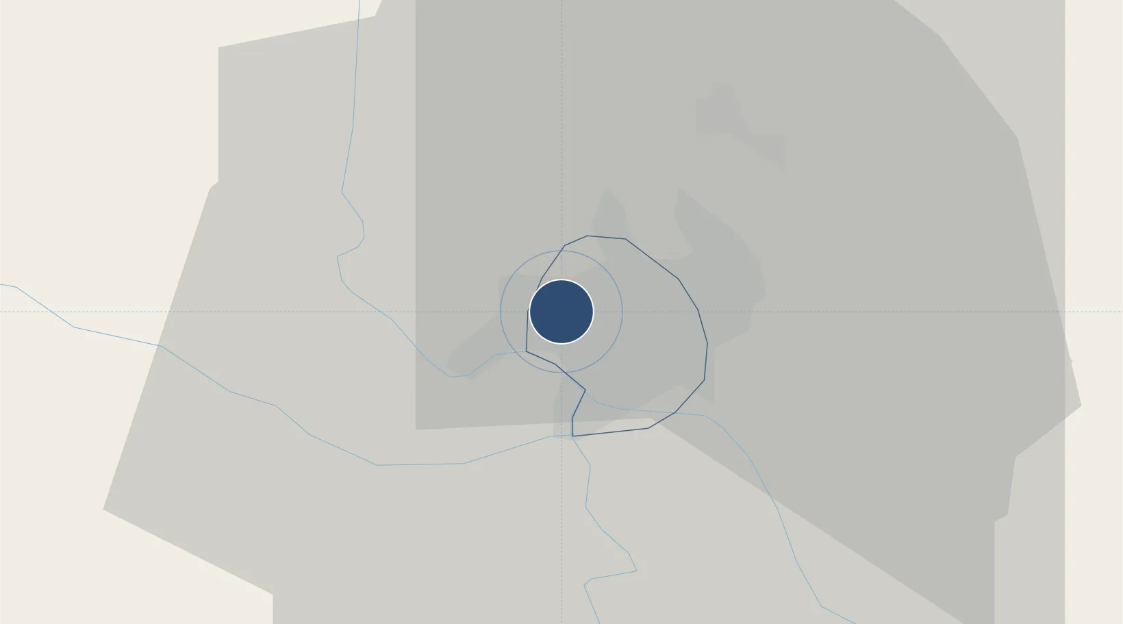
12.1337°, 15.0340°
9,186 ft
Longest runway
1
Runways
968 ft
Elevation

Runway & Layout

N'Djamena International Airport runway & taxiway layout
Runway & taxiway layout — OpenStreetMap (ODbL) / OurAirports

Radio Frequencies

TWR
118.1 MHz
APP
119.7 MHz
INFO
128.1 MHz
OurAirports

Navaids

FL VOR-DME Ndjamena 115.30 MHz
OurAirports

Runways · 1

RunwayDimensions SurfaceTrue headingLit
05/23 9,186 × 148ft Asphalt 046°
OurAirports

Airport Specifications

IATA code
NDJ
OurAirports
ICAO code
FTTJ
OurAirports
Airport class
Large airport
OurAirports
Scheduled service
Yes
OurAirports
Runway surface
Asphalt
OurAirports
Served city
N'Djamena
OurAirports

Location

Location of FTTJ
Natural Earth 10m (public domain) · Ville de N'Djamena · FTTJ · 12.13, 15.03GoogleOSMYandex

Nearby Logistics Neighbours

Airports
  1. 1Salak Airport205 km
  2. 2Maiduguri International Airport215 km
  3. 3Garoua International Airport360 km
  4. 4Moundou Airport406 km
  5. 5Yola Airport428 km
Nearest neighbours — logibook spatial index (haversine) over the source coordinates
Cities
  1. 1Chagoua8 km
  2. 2Garoua362 km
  3. 3Komé448 km
  4. 4Gombe469 km
  5. 5Borno482 km
Nearest neighbours — logibook spatial index (haversine) over the source coordinates
Ports
  1. 1Douala1074 km
  2. 2Calabar1086 km
  3. 3Limboh Terminal1114 km
  4. 4Kole Oil Terminal1130 km
  5. 5Moudi Marine Terminal1146 km
Nearest neighbours — logibook spatial index (haversine) over the source coordinates
Trade Zones
  1. 1Djermaya Special Economic Zone32 km
  2. 2Banki Border Free Zone136 km
  3. 3Djamboutou Garoua Industrial Zone362 km
  4. 4Sebore Farms Export Processing Zone463 km
  5. 5Ngaoundere Industrial Zone556 km
Nearest neighbours — logibook spatial index (haversine) over the source coordinates
DatabookThe Record of Consolidated Knowledge
Chad beyond logistics?
Browse databook

All Sources

AirportsOurAirports
Public domain
Portsthe NGA World Port Index
Public domain (US gov)
LocationsUN/LOCODE
UN/LOCODE — free
Trade Zonesthe World Bank SEZ database
CC BY 4.0
Trade ZonesOpen Zone Map
CC BY
InfrastructureOpenStreetMap
ODbL 1.0
← Chad airports